Inside the Gulf

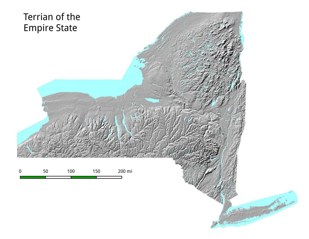
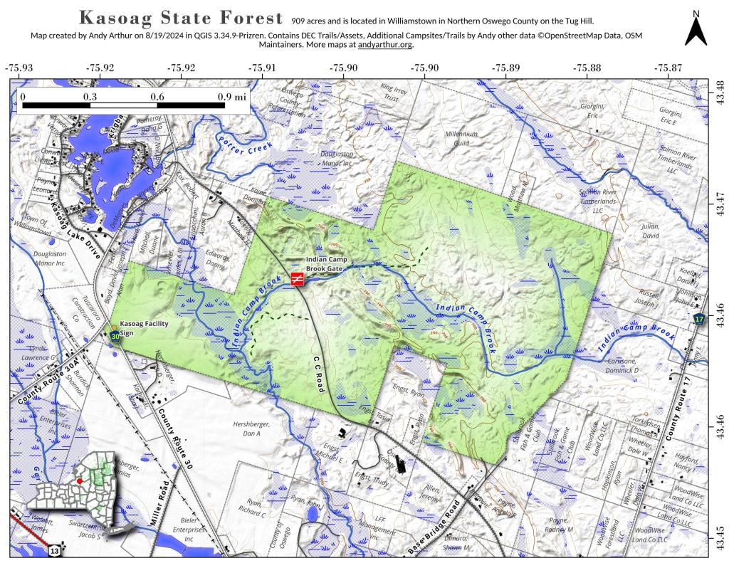
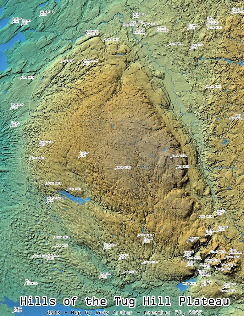
Continuing to play with the Leaflet layers and CSS to use the multiply effect to create beautiful overlays of LiDAR and other digital elevation models for blog maps.