Bear Rocks
Bear Rocks are a widely recognized symbol of West Virginia wilderness and among the most frequently photographed places in the state.
Bear Rocks are a widely recognized symbol of West Virginia wilderness and among the most frequently photographed places in the state.
This is the road I overheated my brakes on in West Virginia. It looks a lot flatter in the aerial photo then in reality.
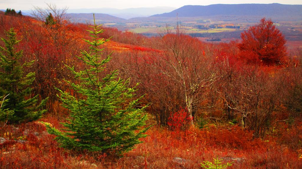
Looking south-west off Cabin Mountain at Dolly Sods to the high-elevation Canaan Valley, towards Dry Fork. To the left is Rich Mountain and to the right is Canaan Mountain.
Friday October 27, 2023 — Dolly Sods Wilderness — Dolly Sods Wilderness Trails 🗺