
Hoye-Crest Trail
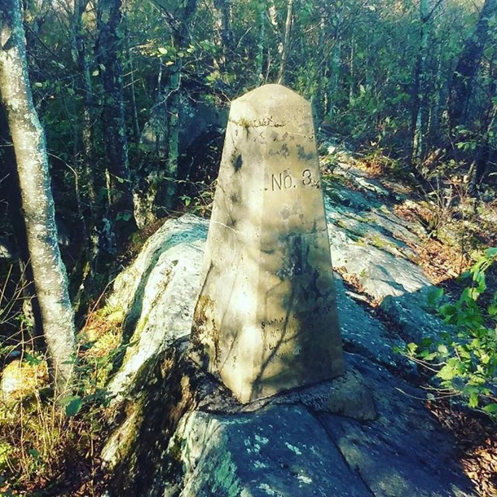
The trail to Maryland's highest point on Backbone Mountain can be accessed from US 219 in Silver Lake, West Virigina. Only the summit is in Maryland.
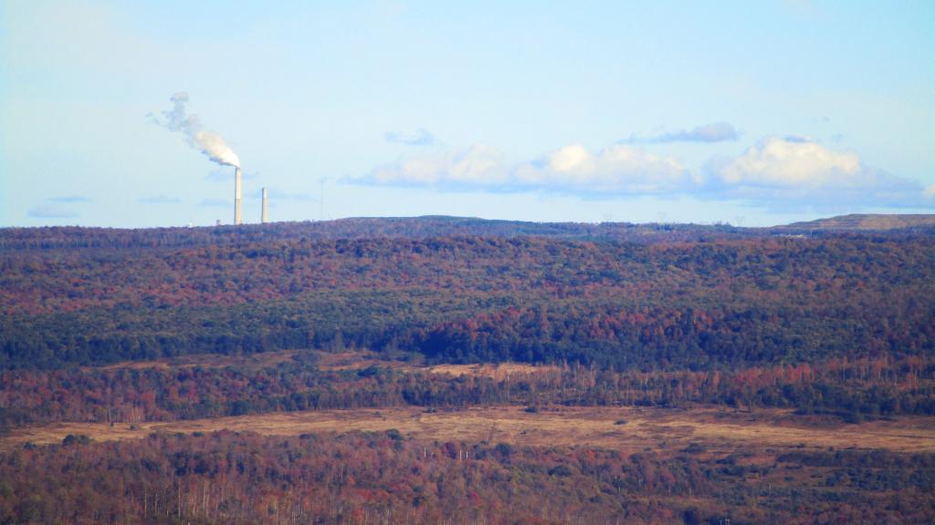
Mount Storm Power Plant and Coal Fields Seen from Hoye-Crest
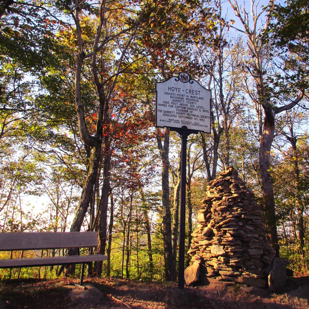
Hoye-Crest, Highest Location in Maryland
One foot in Maryland, the other in West Virginia