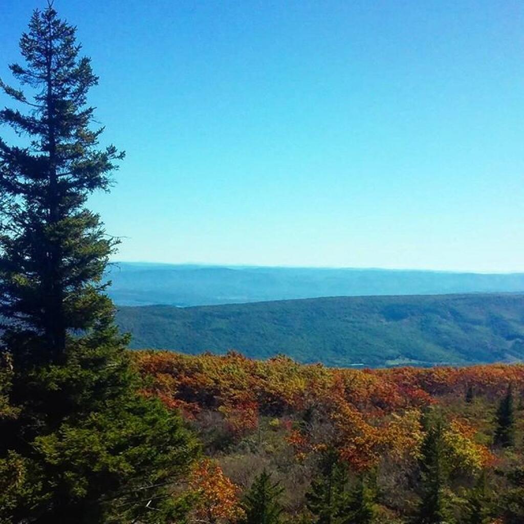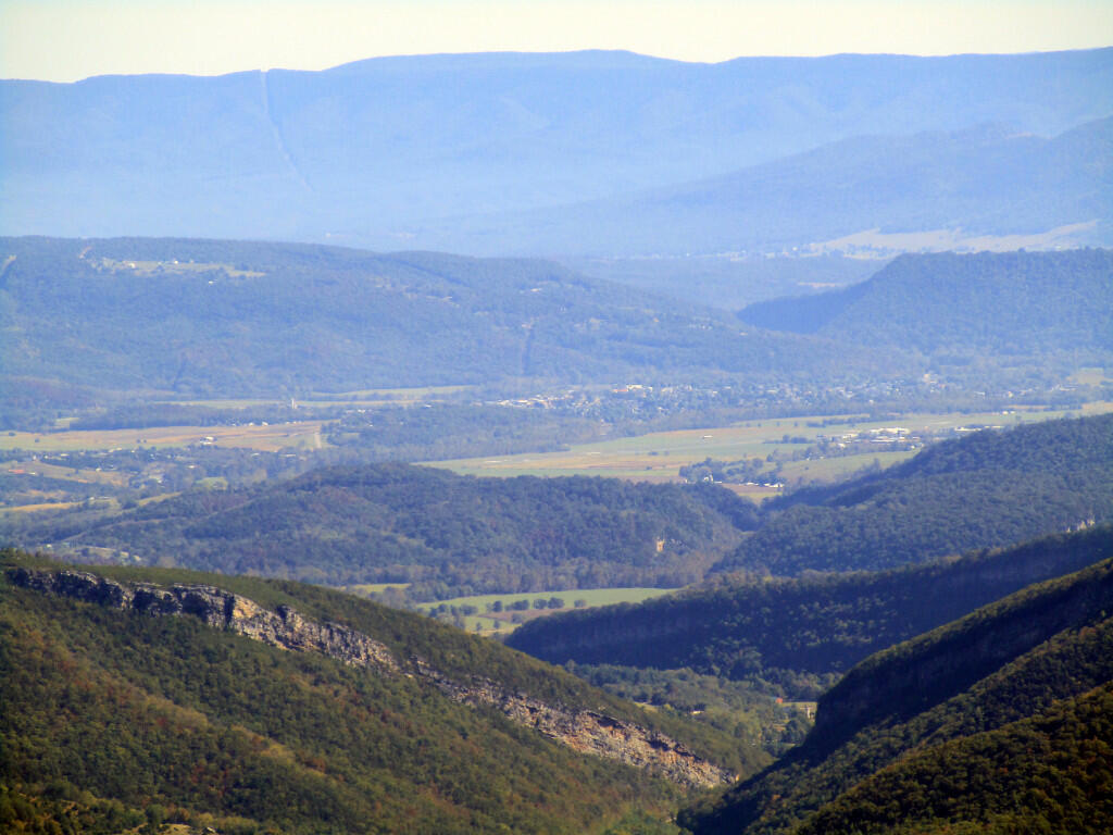
Dolly Sods Wilderness 📍

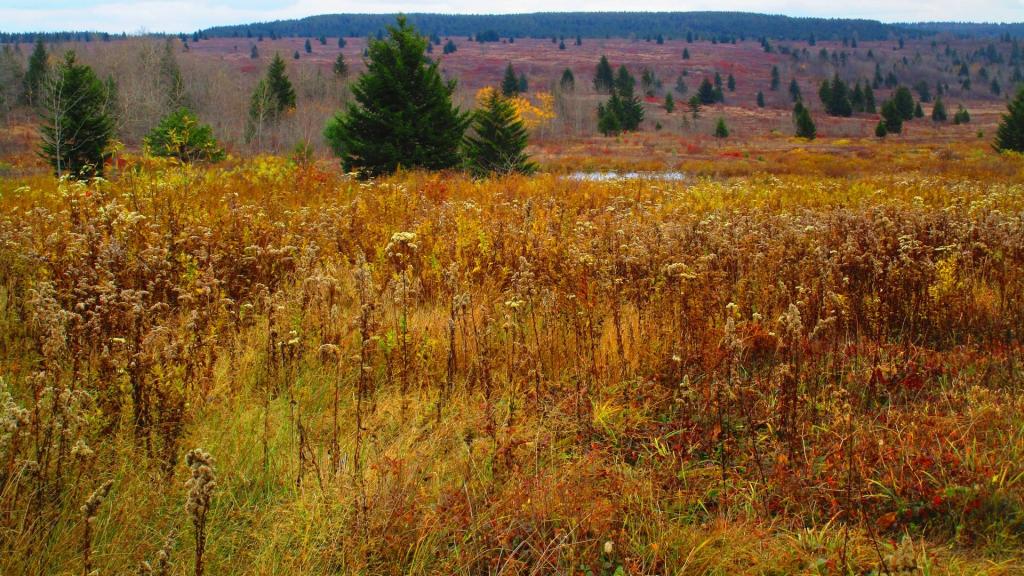
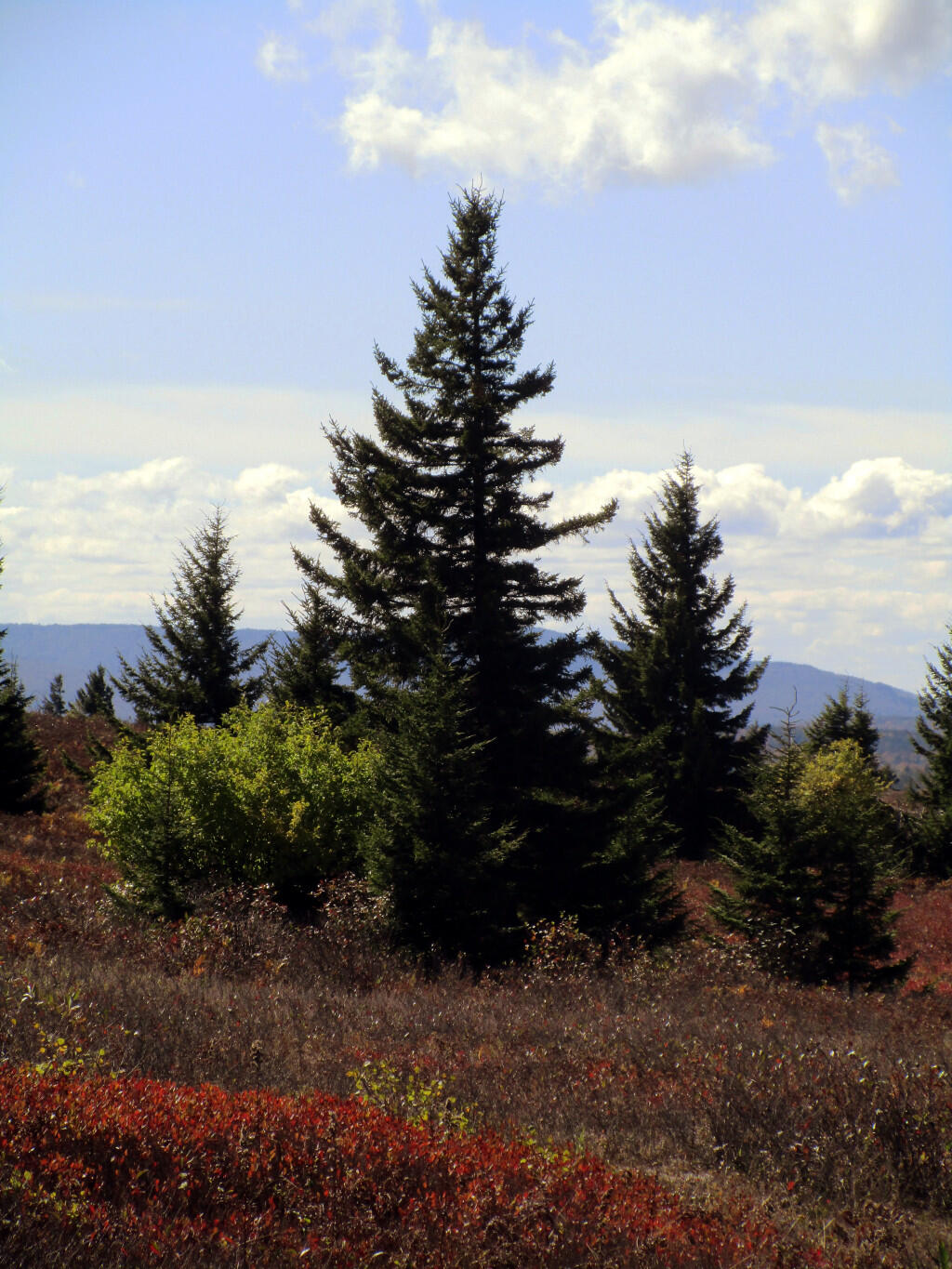
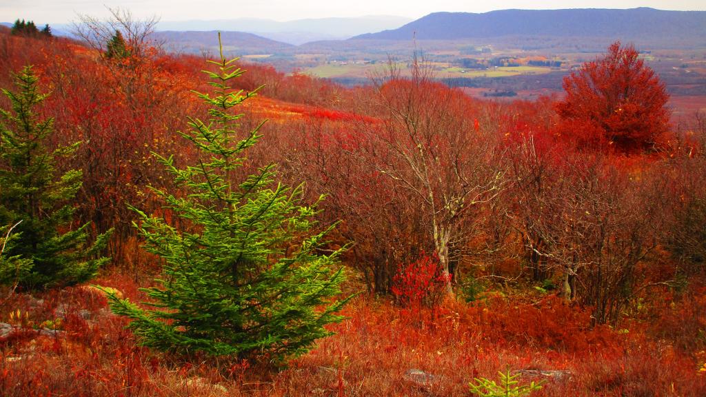
The 17,371 acre Dolly Sods Wilderness in the Monongahela National Forest is part of the National Wilderness Preservation System. It is located in Grant, Randolph, and Tucker Counties, West Virginia. The Dolly Sods Wilderness contains much of the Red Creek drainage and contains bog and heath eco-types, more commonly typical to southern Canada. Elevations range from 2,500 to over 4,700 feet. https://www.fs.usda.gov/recarea/mnf/recarea/?recid=12366

🗺️ Maps 🖼️ Photos 📽️ Videos
Map: Mountain House Trail and North Mountain
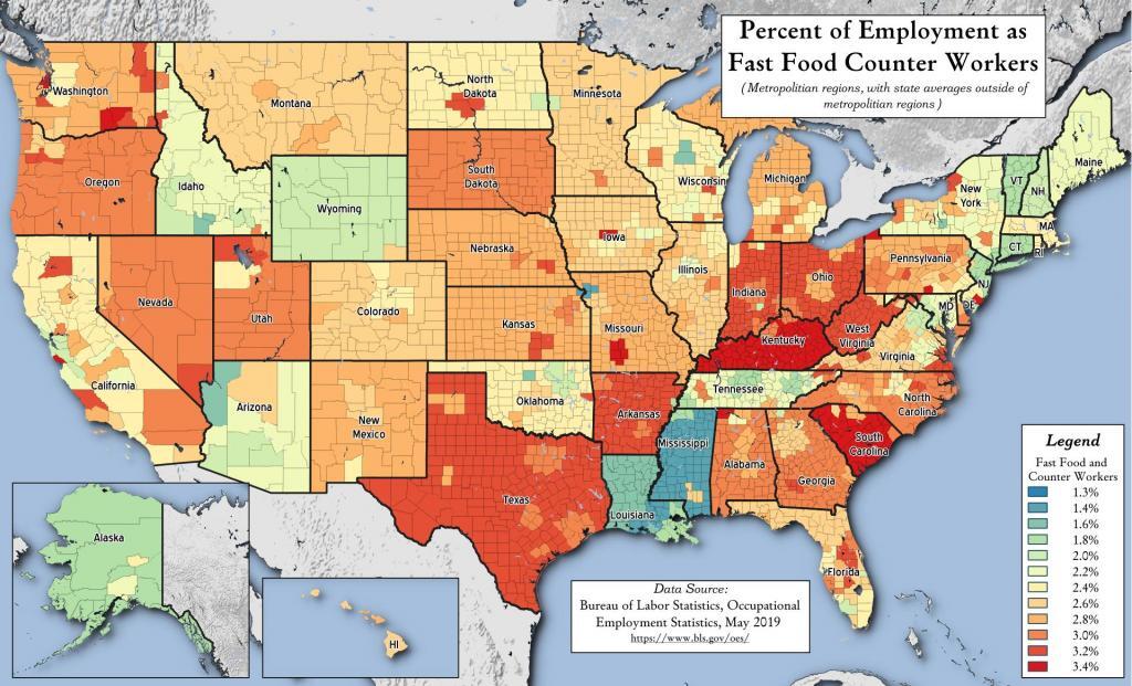
Thematic Map: Percent of Employment as Fast Food Workers
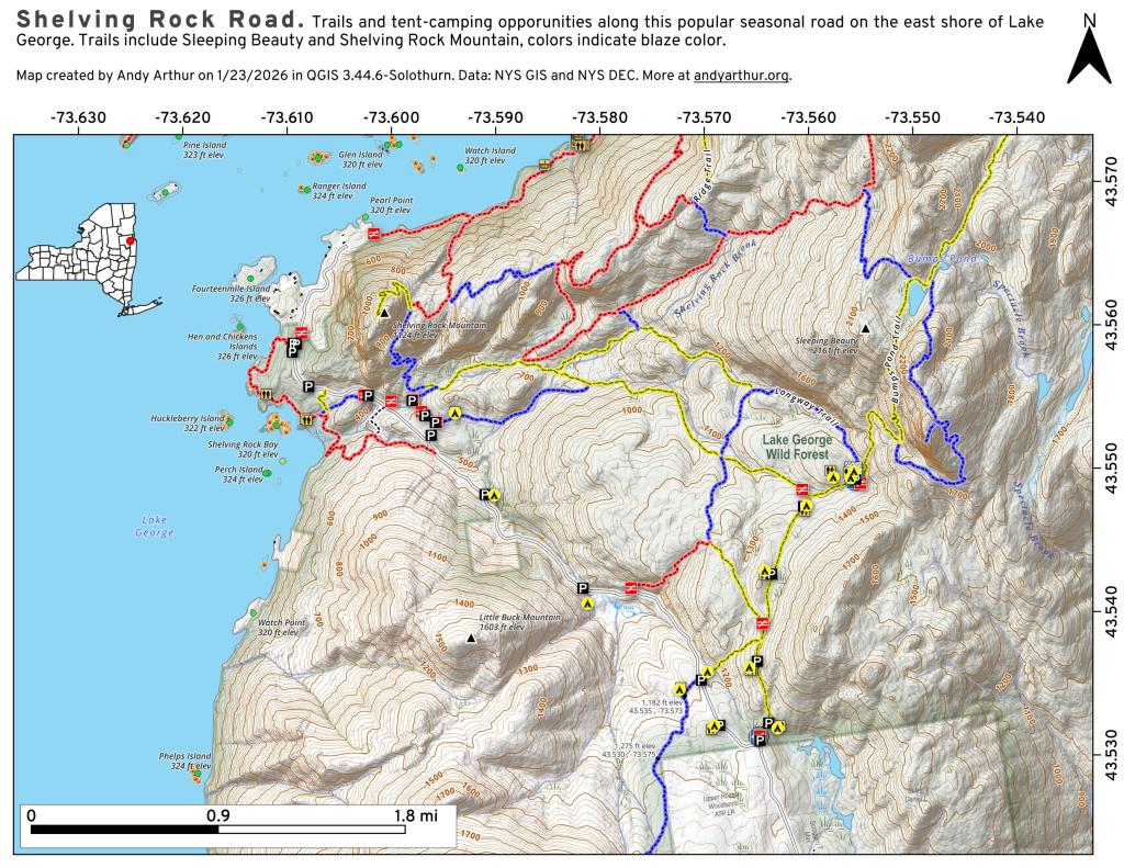
Map: Shelving Rock Road and Dacy Clearing Road
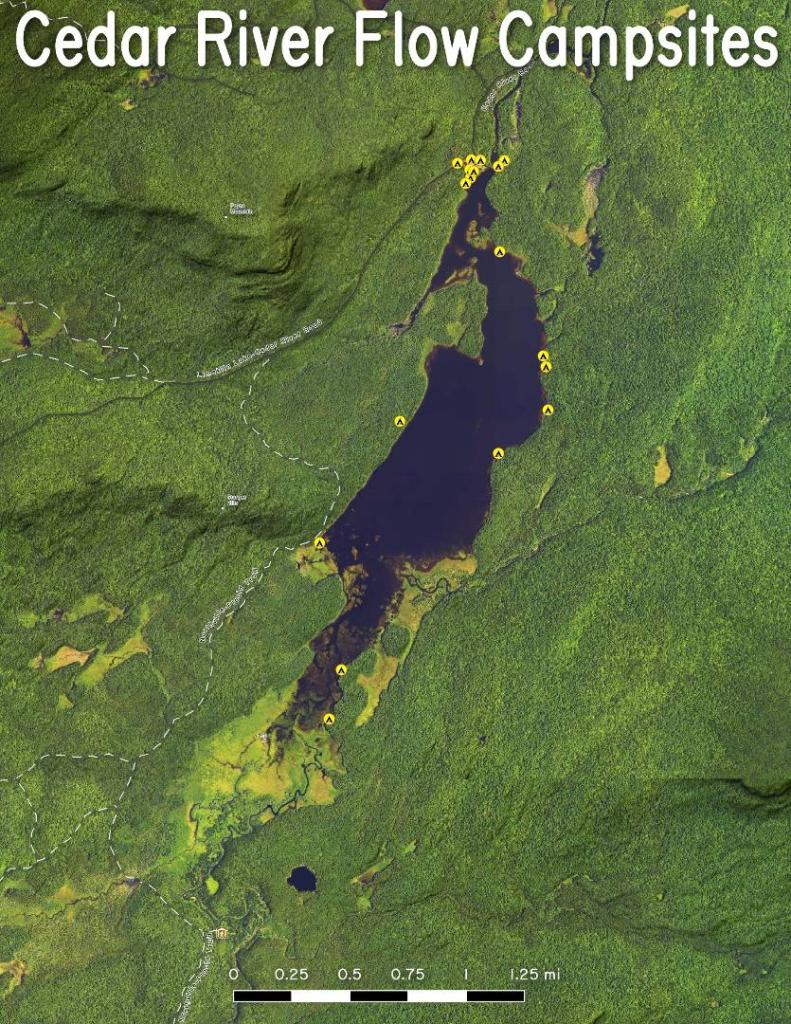
Thematic Map: Cedar River Flow Campsites
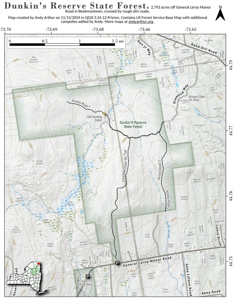
Map: Dunkin's Reserve State Forest