Indian Lake 📍

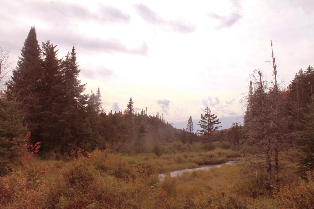
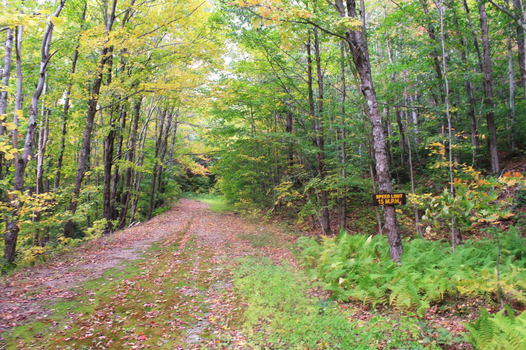
Indian Lake (82 acres) is located at the end of the recently closed Indian Lake Road. It’s now a 2.5 mile hike back to lake, due to the road closure.

It was a productive fishery that became fishless due to acid deposition. The lake is becoming less acidic in recent years, but still has trouble sustaining fish, with a ph of 5.3.
🗺️ Maps 🖼️ Photos

Indian Lake

This map shows the Indian Lake Trail from Squaw Lake, past Muskrat Lake to Indian Lake at Moose River Plains. The old Indian Lake Road terminates about a 1/4 mile before Squaw Lake pursuant to a compromised implemented under the demands of the wilderness activists.

 Indian Lake

Terrain Map: Hills and Hollows from Fort Hunter to Scotia
Map: Green Mountain National Forest North
Terrain Map: Knox 1960
Map: Tug Hill State Forest (Inman Gulf Area)
Map: Hudson River Special Management Area