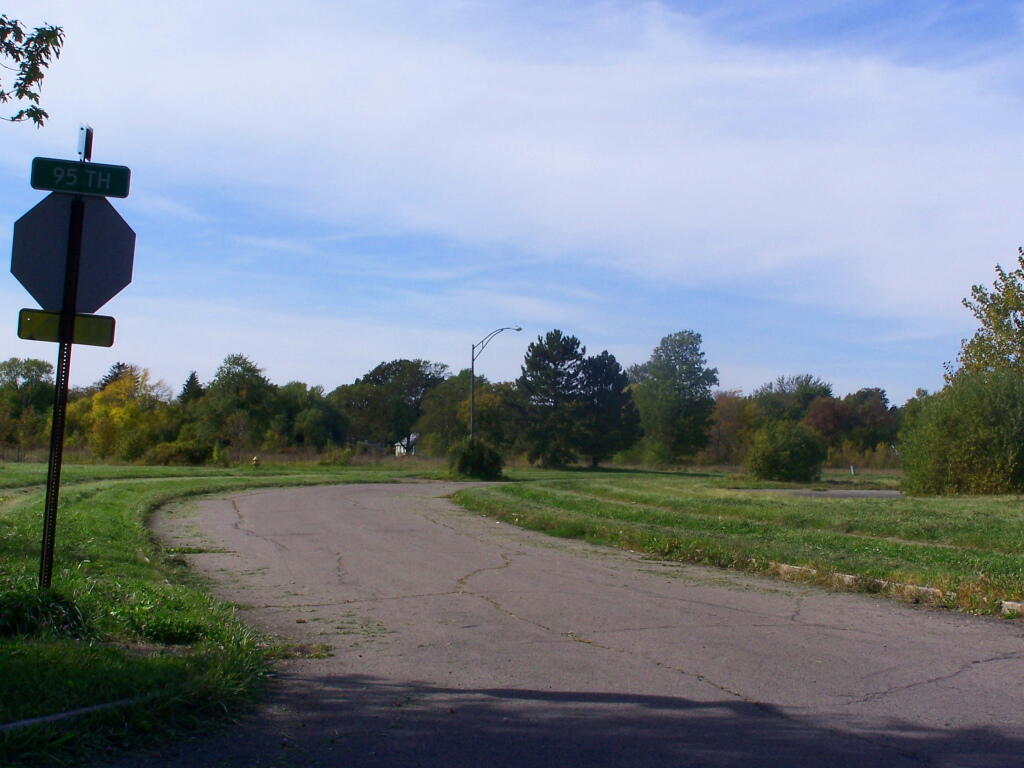
95th Street

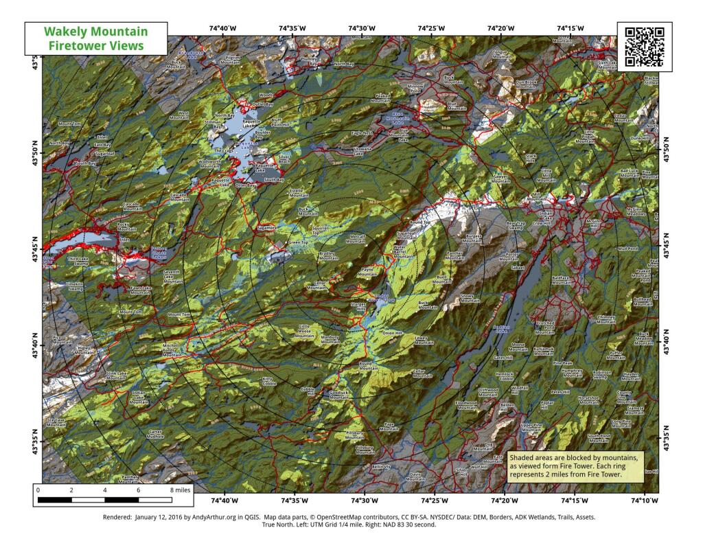
This historical Grand Island Topographic Map from 1949 shows the canal as still having water in it.
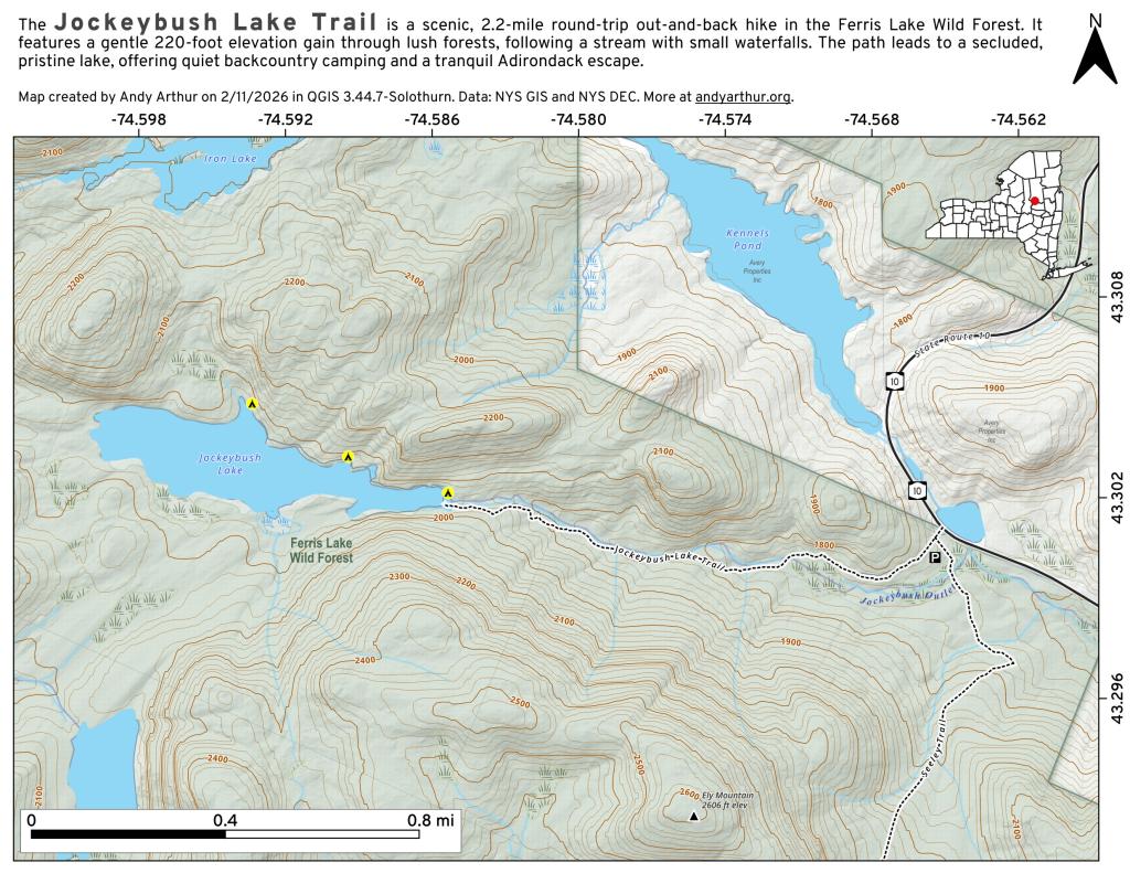
Black Creek Village is a neighborhood directly to the north of Love Canal. The most common type of home there is ranch style homes.
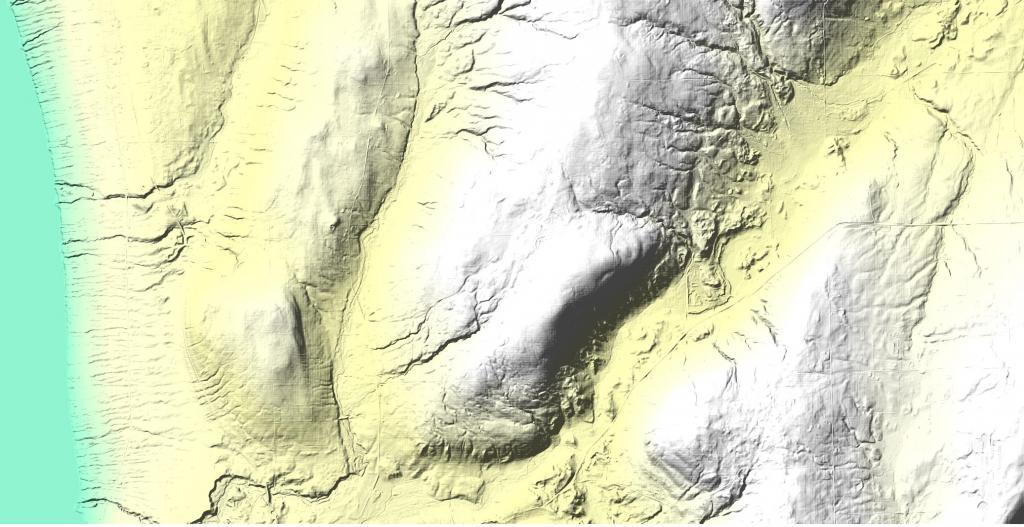
It's quite a remarkable contrast to the developed neighborhoods surrounding it, where dozens of houses and cars would line the streets.
Thursday September 25, 2008 — Love Canal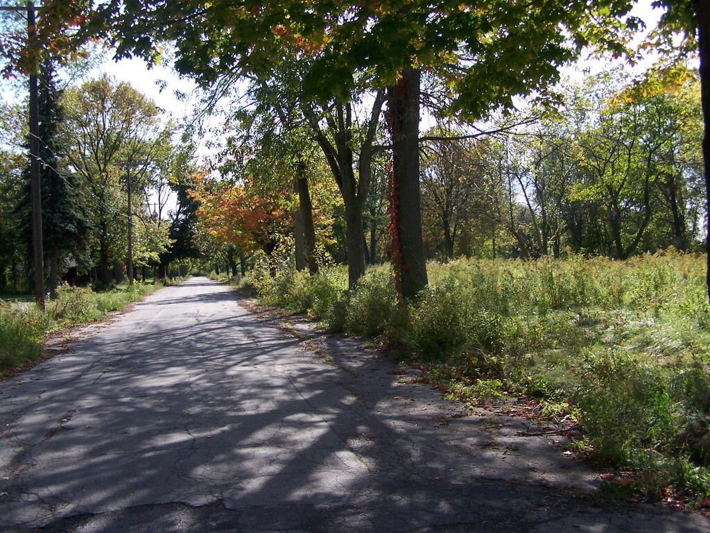
There is something kind of creepy about this grown up and abandoned street scene.
Thursday September 25, 2008 — Love Canal