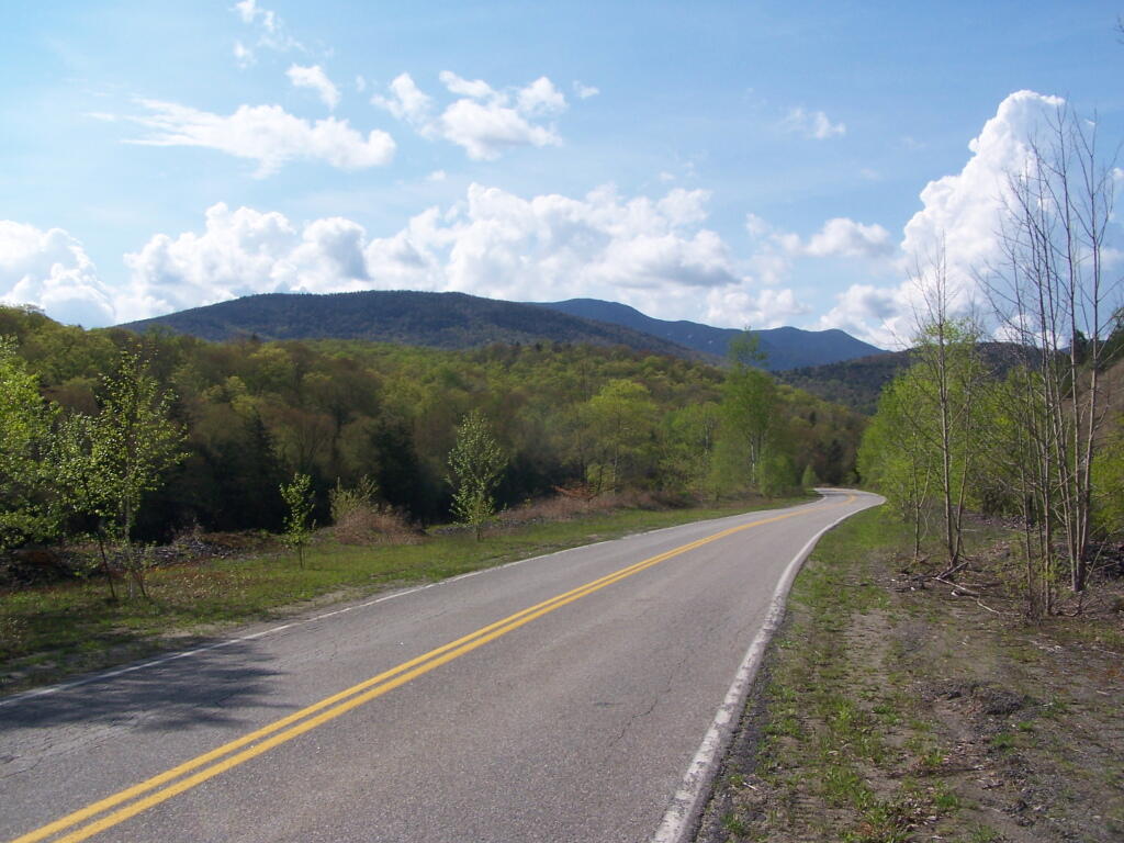
Adirondac – Tahawus Club – Mac Intype Ironworks (1904)
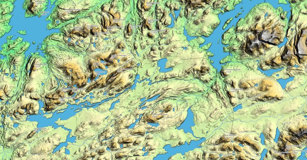
Historical topopgraphic maps show the area as it once was around Mount Adams.

Historical topopgraphic maps show the area as it once was around Mount Adams.
Again, taken from the road up the tailings pile.
Saturday May 21, 2011 — Tahawus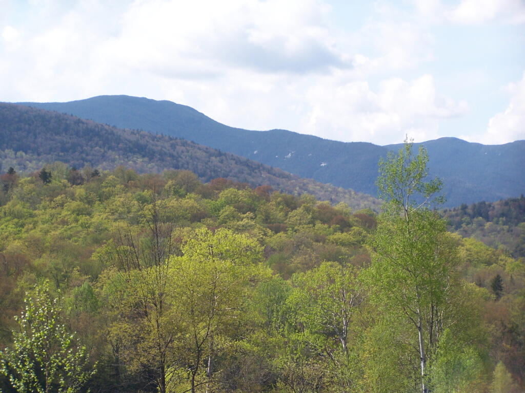
Along the trail to Lake Colden and ultimately the High Peaks of the Adirondacks.
Saturday May 21, 2011 — Tahawus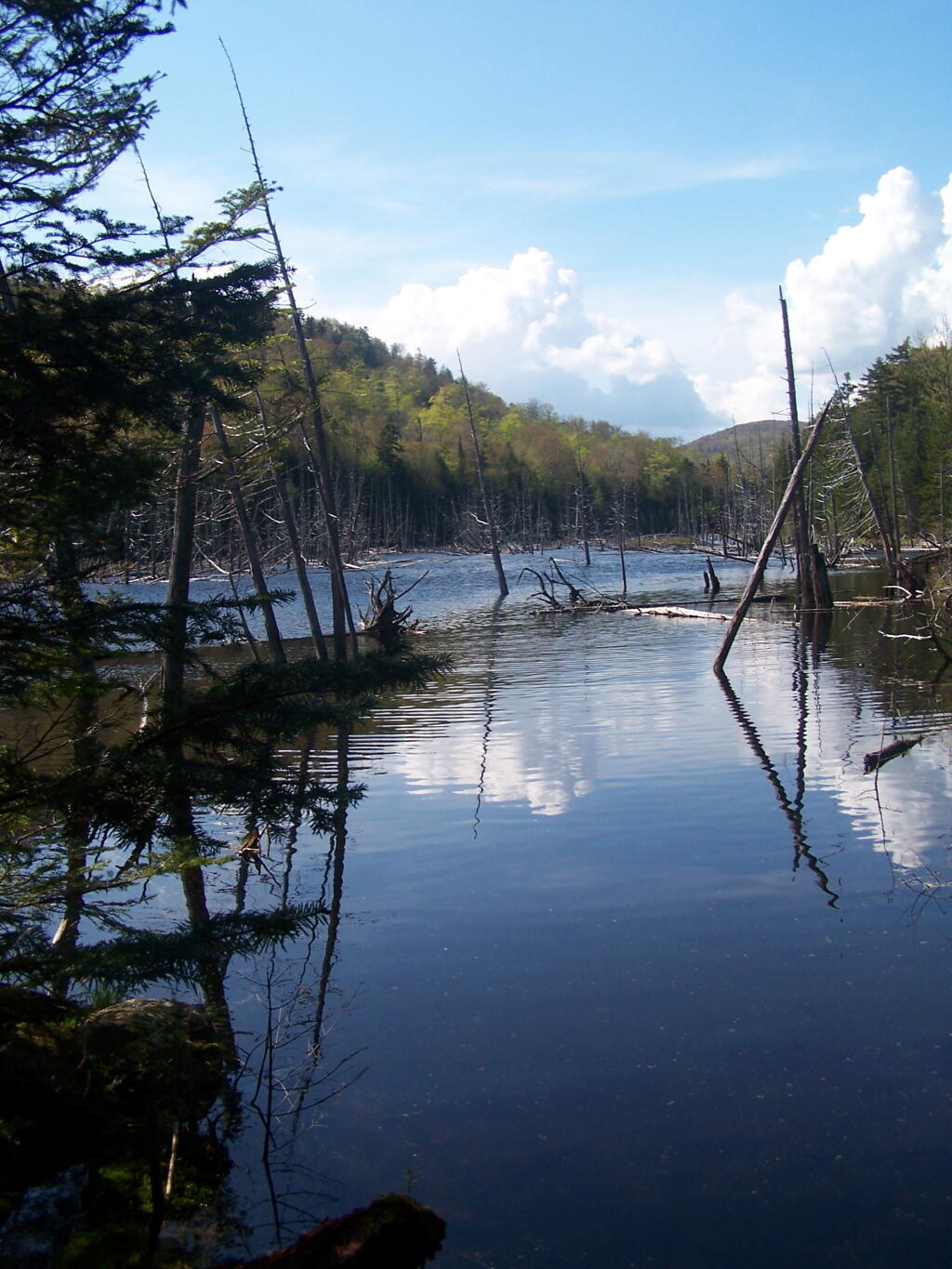
To one of the collapsed Tahawus Club Buildings.
Saturday May 21, 2011 — Tahawus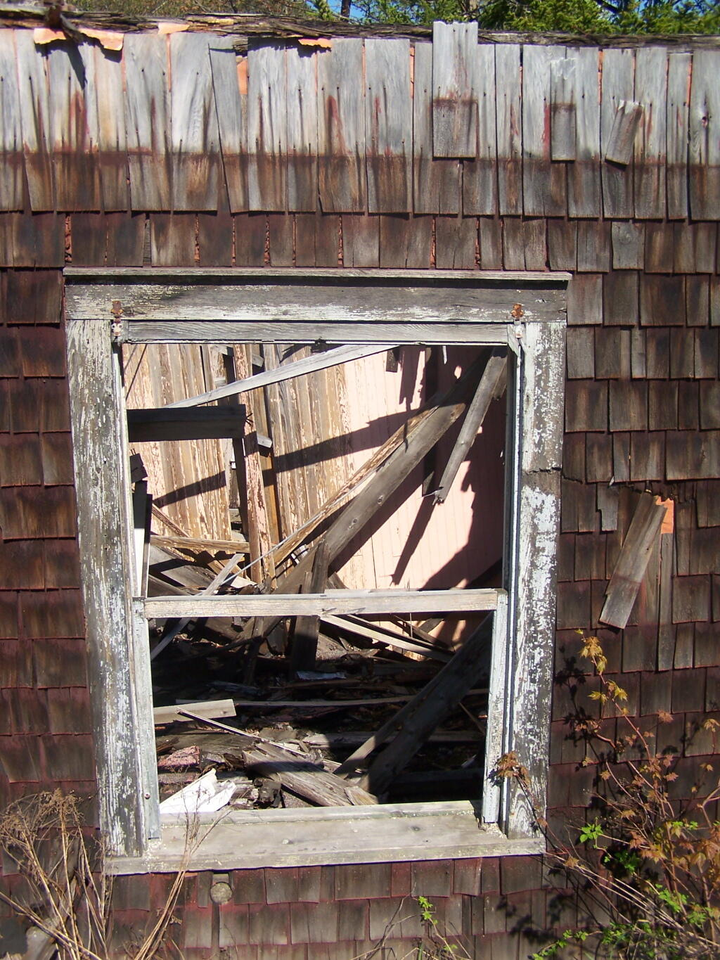
Descending the NL Tailings Pile road into the valley, towards Stanford Lake.
Saturday May 21, 2011 — Tahawus