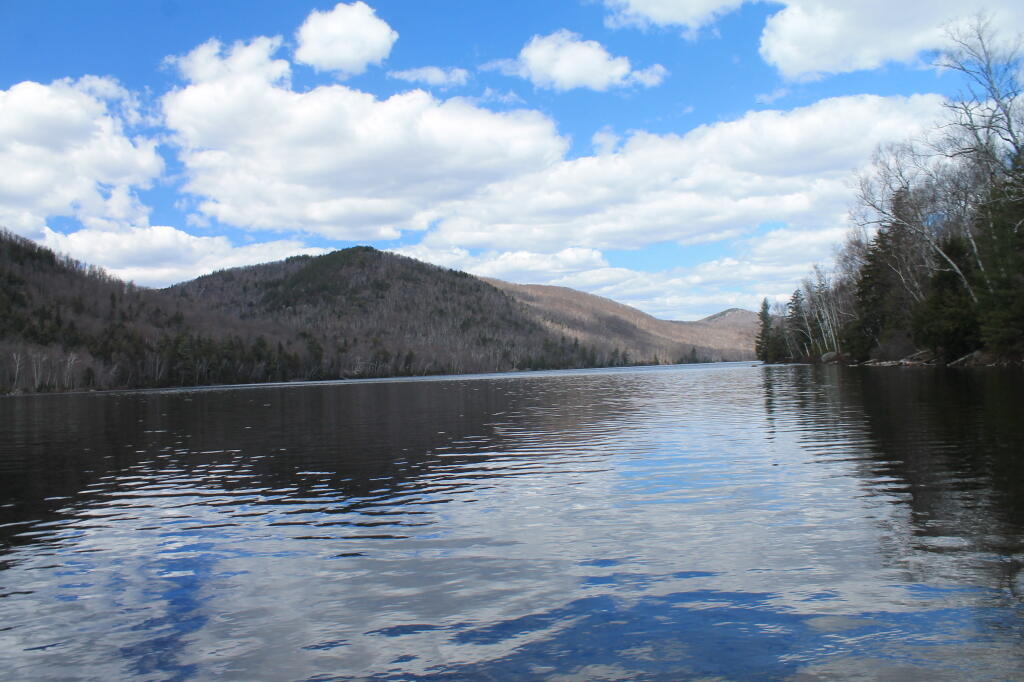
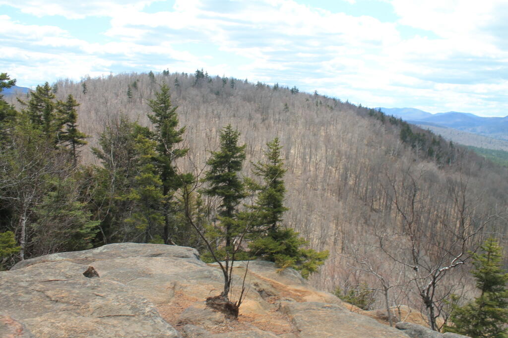
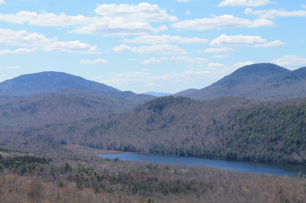
Two-mile long Thirteenth Lake is west of the North Creek and North River area and lies at the edge of the Siamese Ponds Wilderness Area. Most of the shoreline is state land – there is a little development at its eastern shore. From NY Route 28 in North River, take Thirteenth Lake Road for 3.5 miles, and turn right on a dirt road to the parking area. One does have to carry or wheel their canoe or kayak 150 yards along a smooth wide trail to the water’s edge passing by primitive campsites, outhouses, and a picnic area. The put-in is to the left of the register.