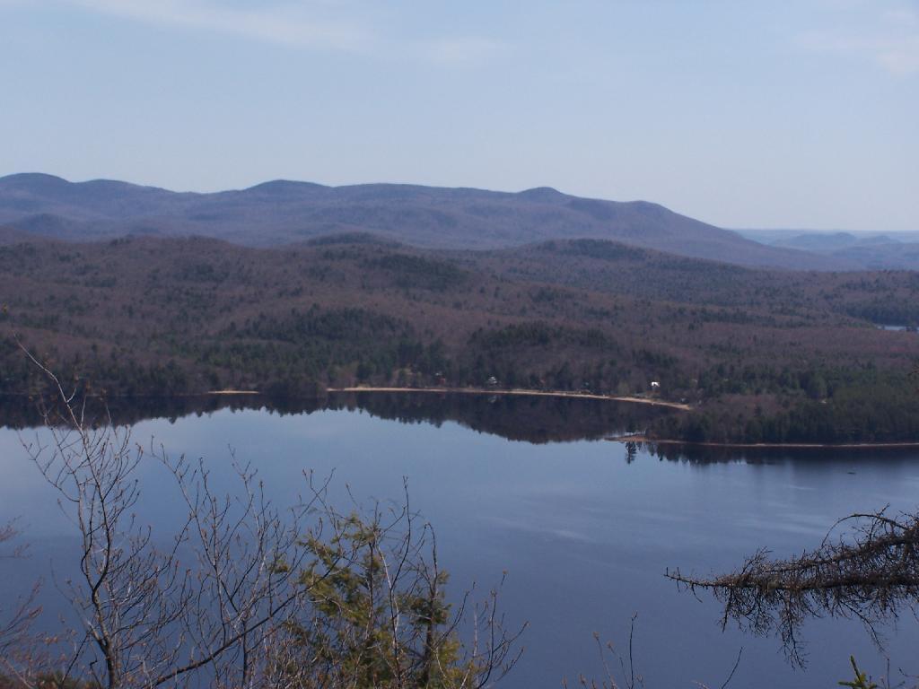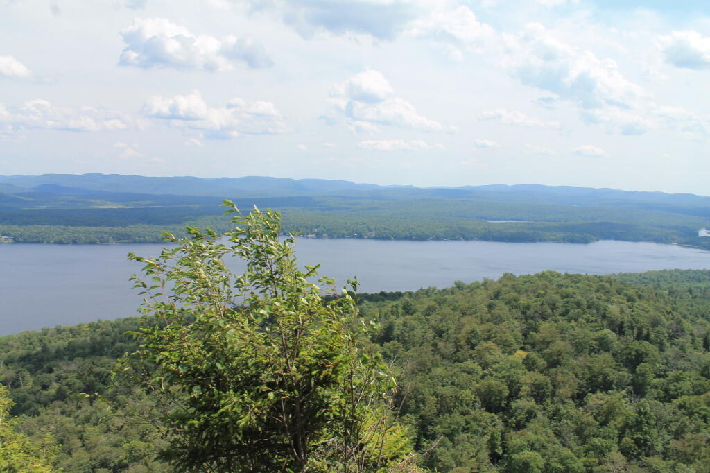
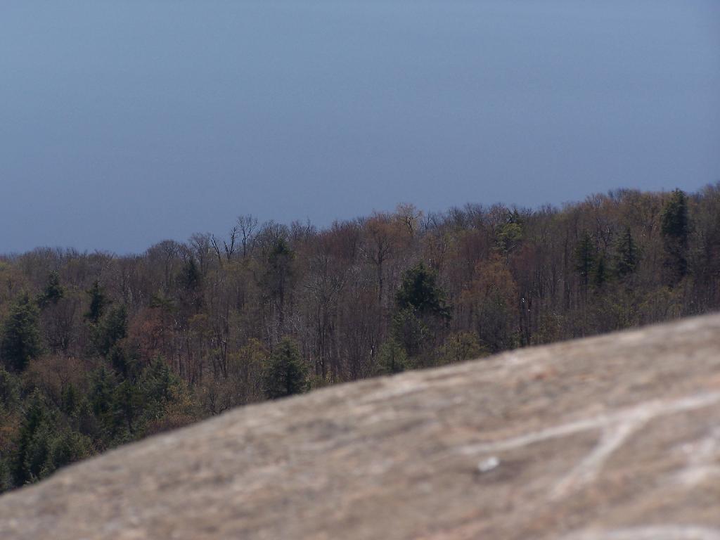
Edge of Lake  🖼️

Download a JPEG Image of the Edge of Lake.

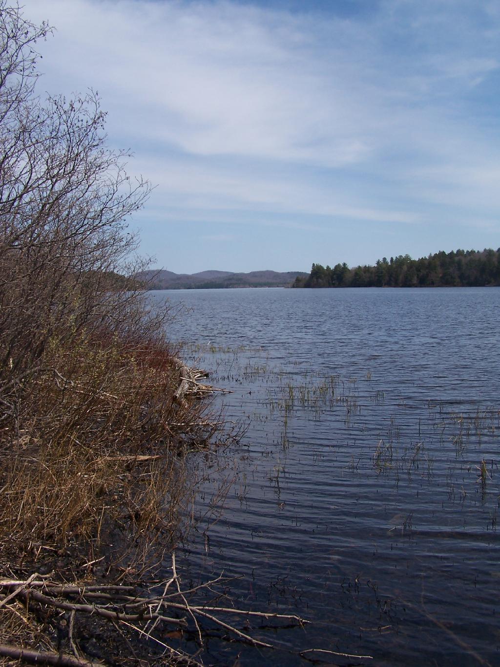
Edge of Lake ...

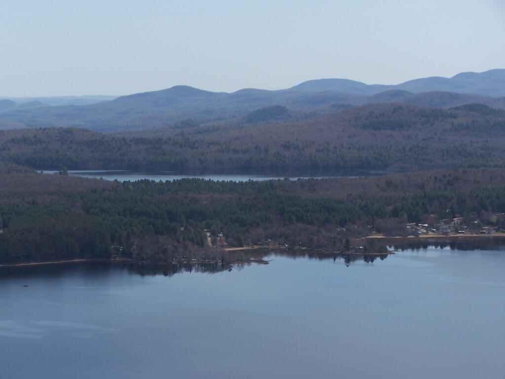
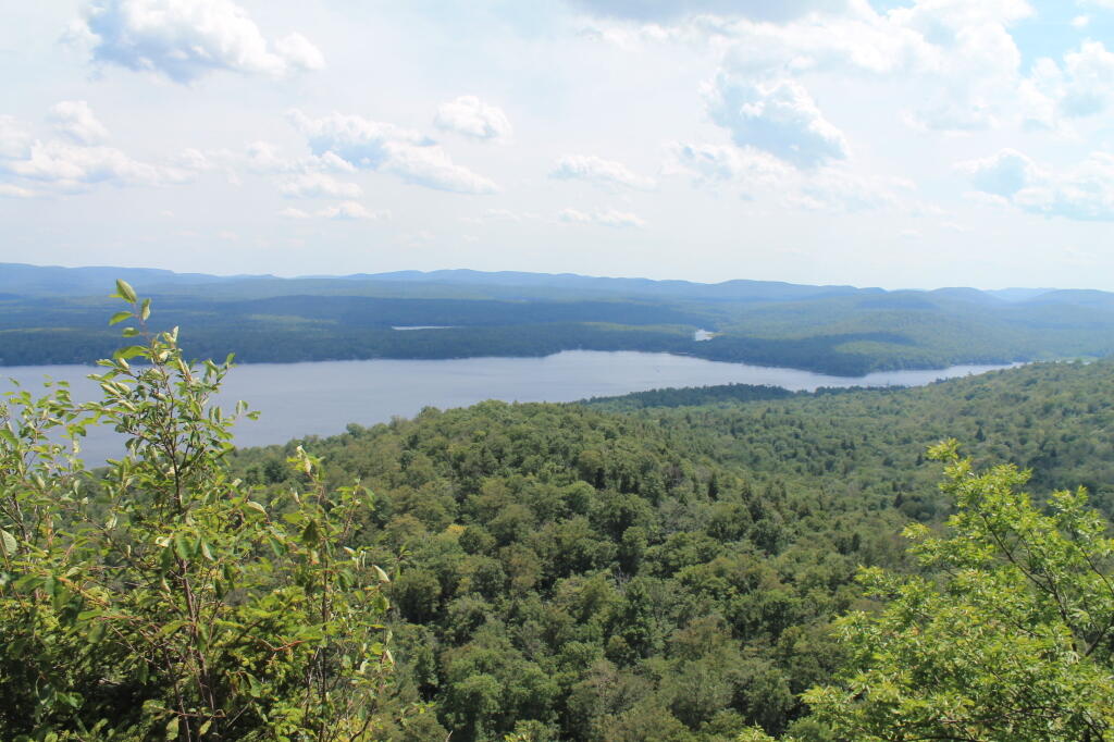
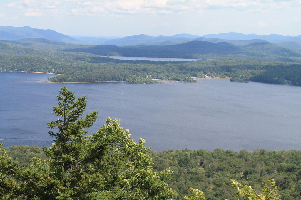
Along with the edge of Echo Cliffs. You can sit bits and pieces of green below.

Taken on Saturday April 24, 2010 at Piseco Lake.
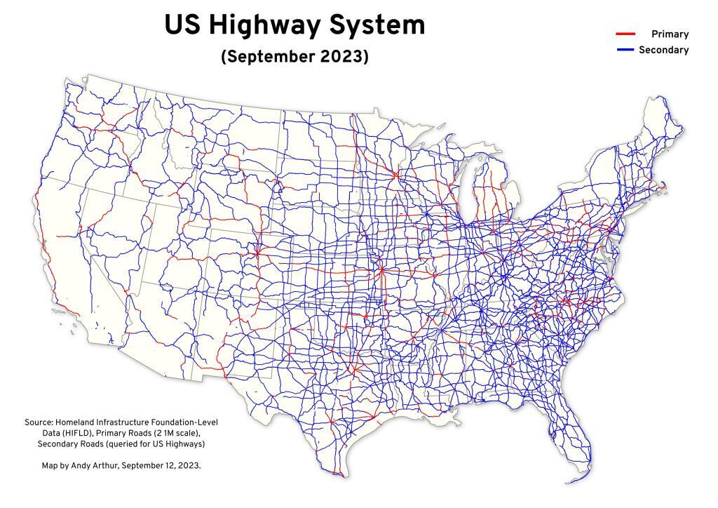
Thematic Map: US Highway System

More about Piseco Lake...

Located near the Hamlet of Piseco, Piseco Lake is a large lake between for Ferris Lake Wild Forest, Jessup River Wild Forest, and the West Canada Lake Wilderness.
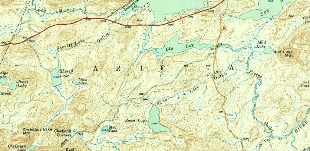
Terrain Map: Modern Route 10 overlaid on the old Arietta - Piseco Road (1954)
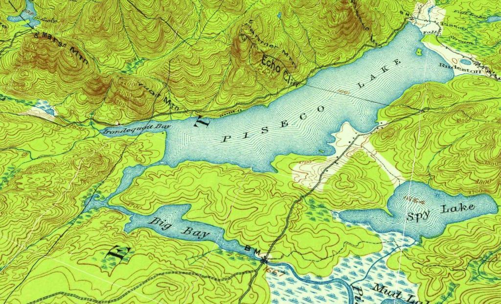
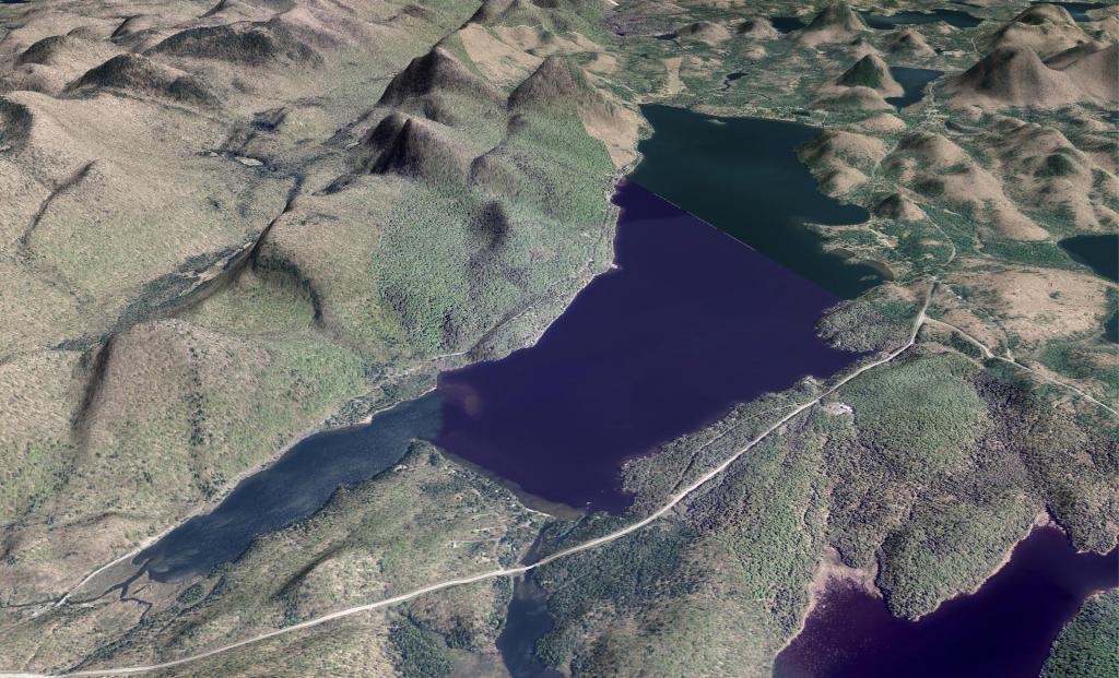
Terrain Map: Piseco Lake
Terrain Map: Piseco Lake 1904
Photo: Shoreline
Photo: Oxbow Lake
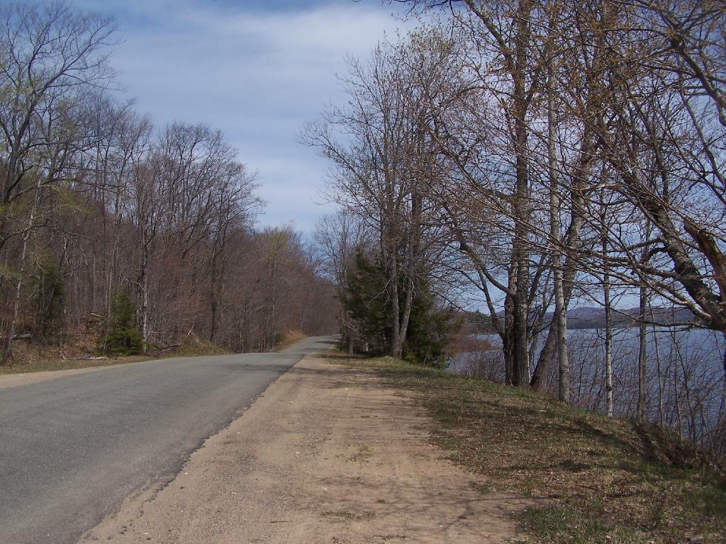
Photo: West Shore Road
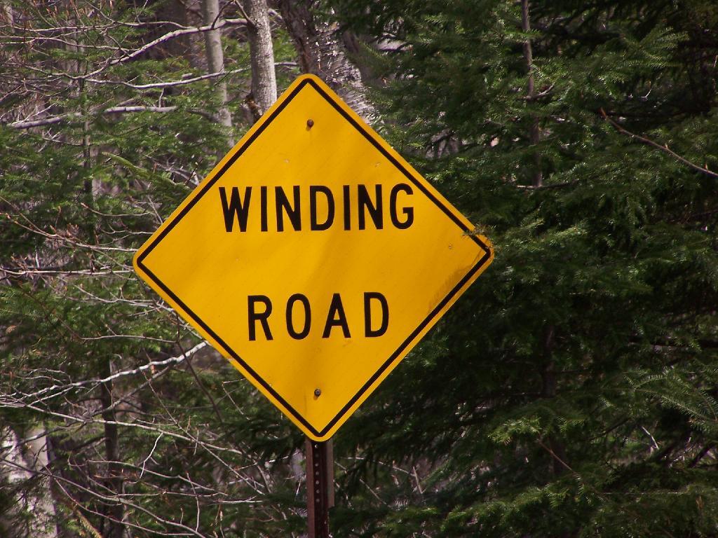
Photo: Winding Road
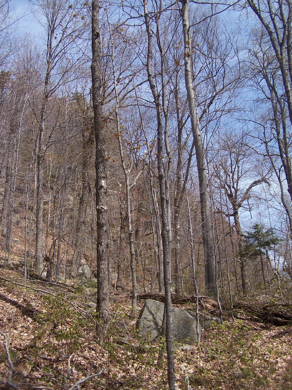
Photo: Looking Up at Echo Cliff from Trail
Photo: Piseco Outlet
Photo: Mountains of Silver Lake Wilderness
Photo: Higgins Bay
Photo: Heading Up to Echo Cliffs
Photo: Piseco Lake

Leave a Reply

Your email address will not be published. Required fields are marked *