Burning It Down to Coals 🖼️

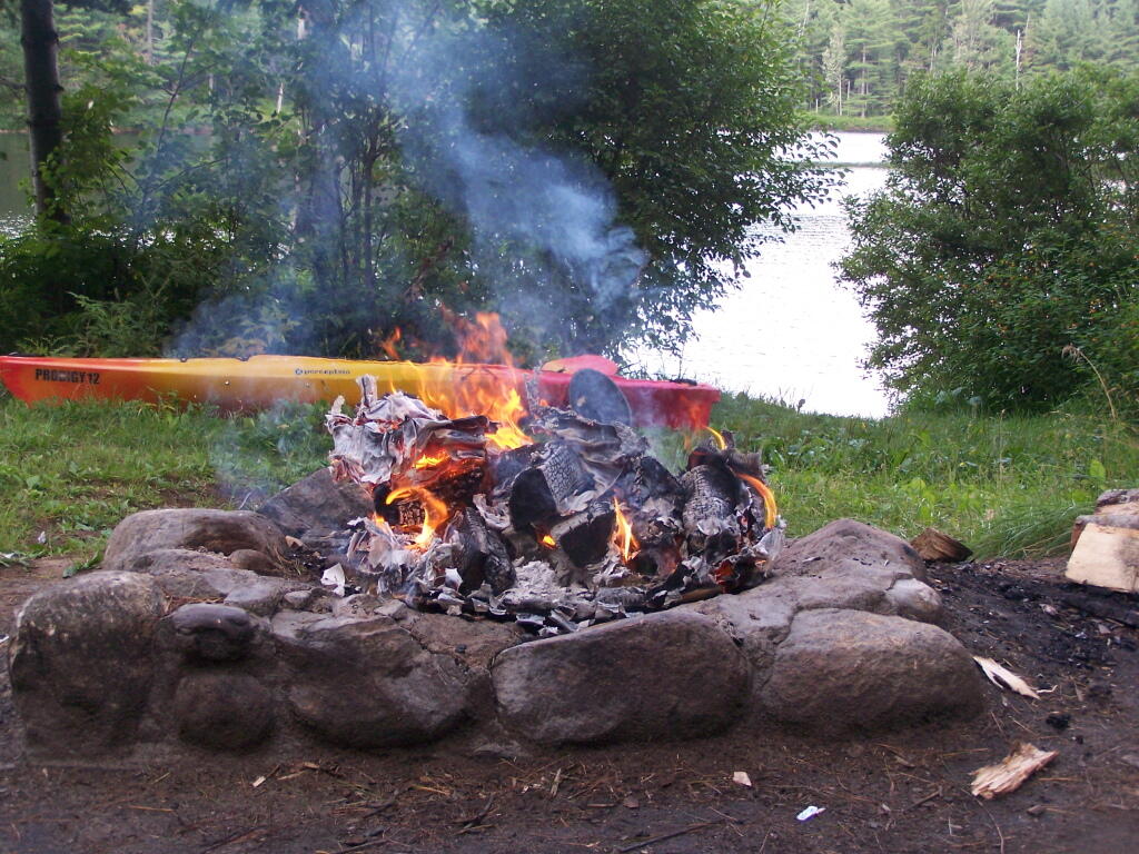
Download a JPEG Image of the Burning It Down to Coals.
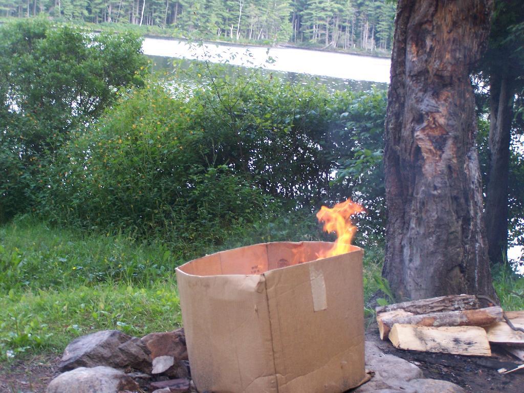
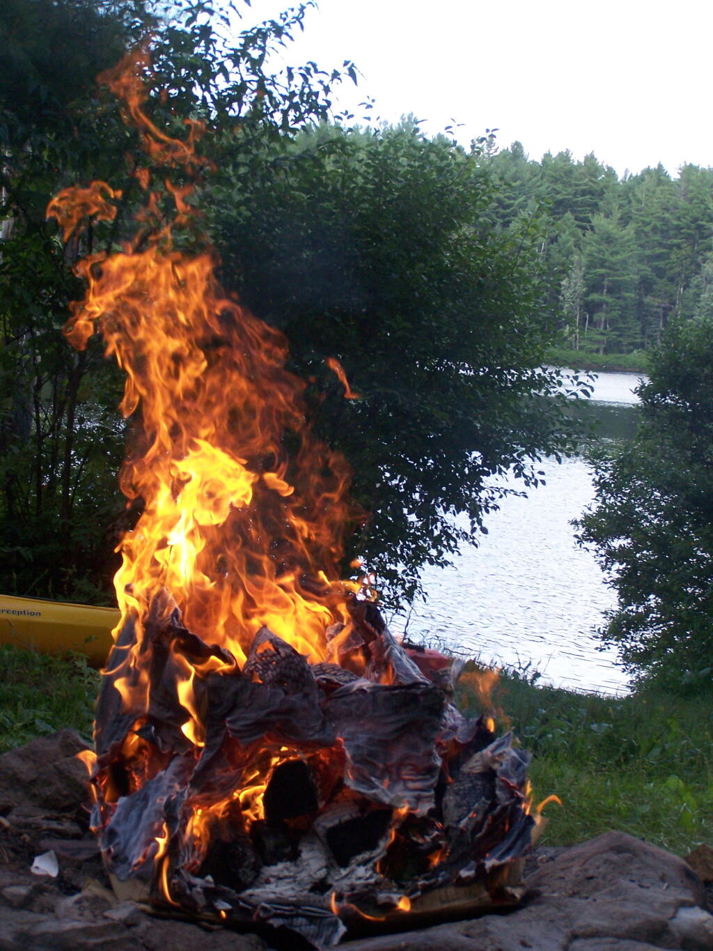
Burning It Down to Coals ...
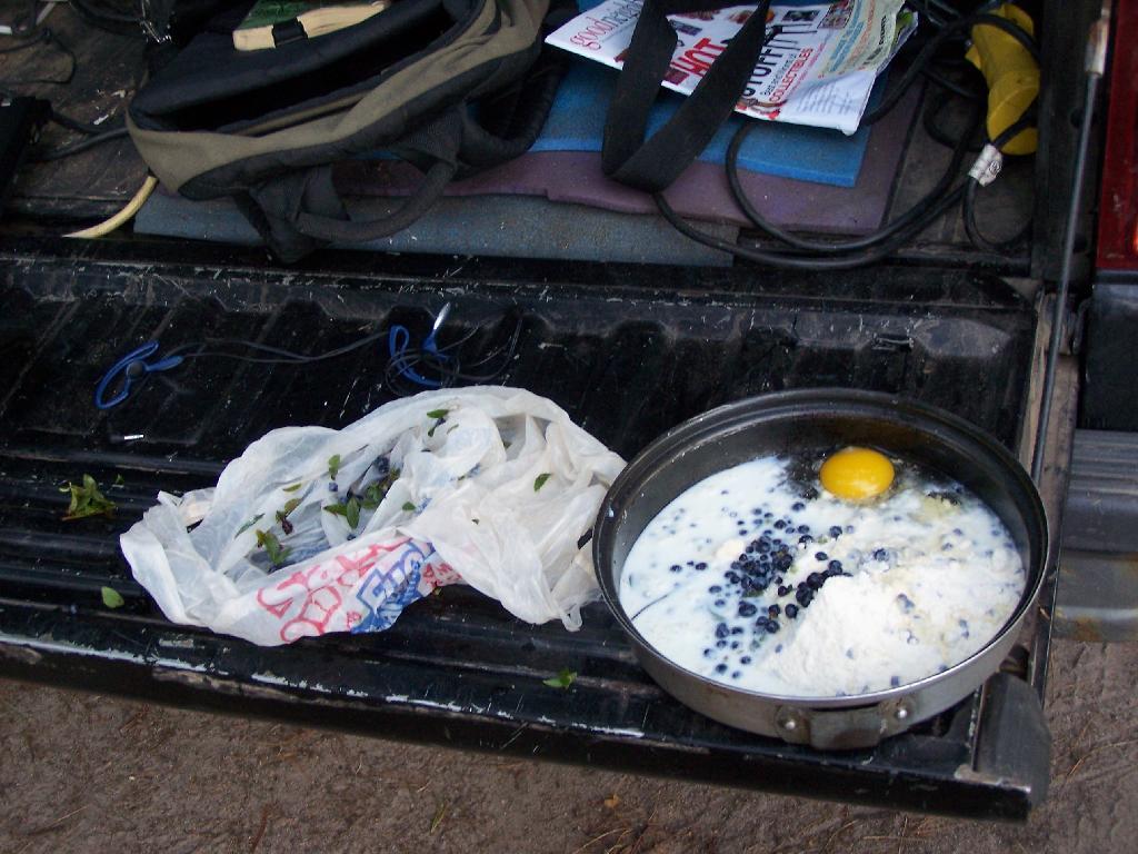
Now that all the plastic and other nasty crap is fully incinerated, stacking on some wood, and letting it burn down to coals, so I can use the Dutch Oven to make Blueberry Muffin Cake, including using the Blueberries I picked on Wednesday down at Moose River Plains.
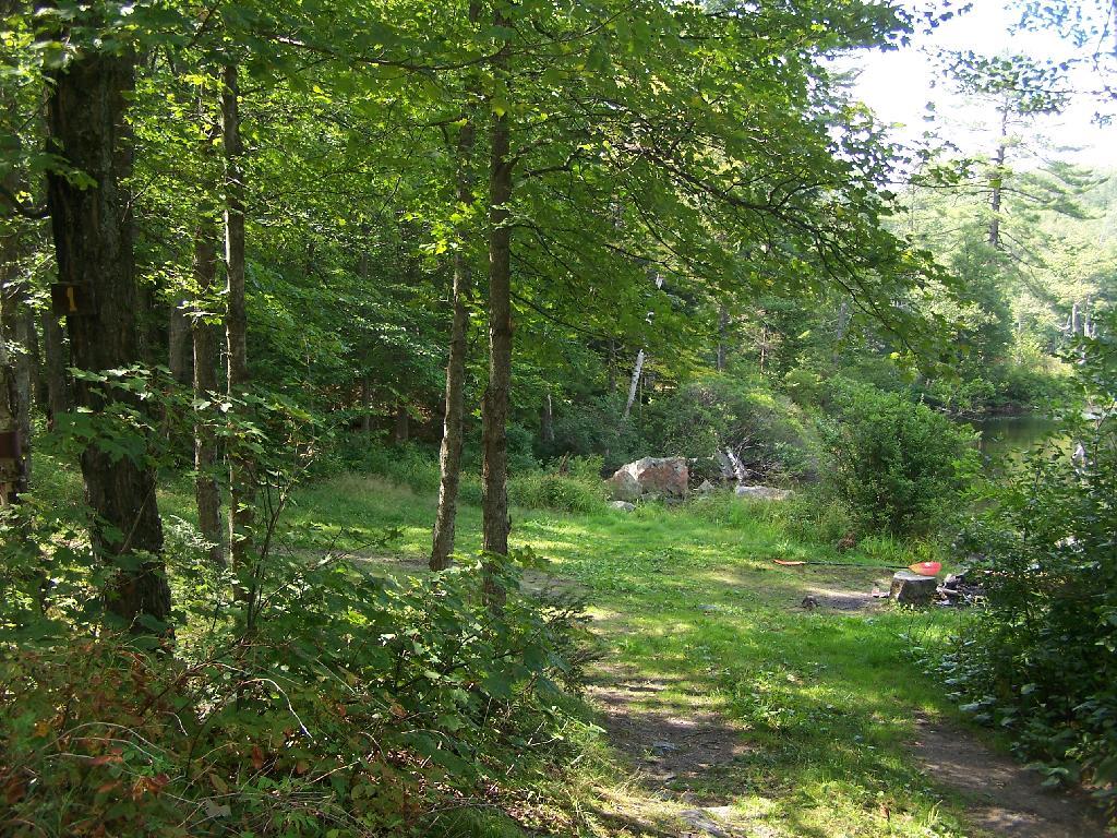
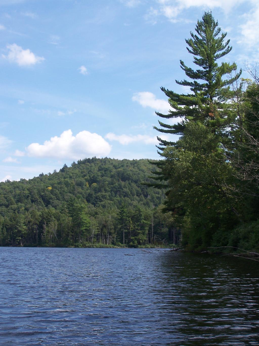
Taken on Saturday August 14, 2010 at Mountain Pond.
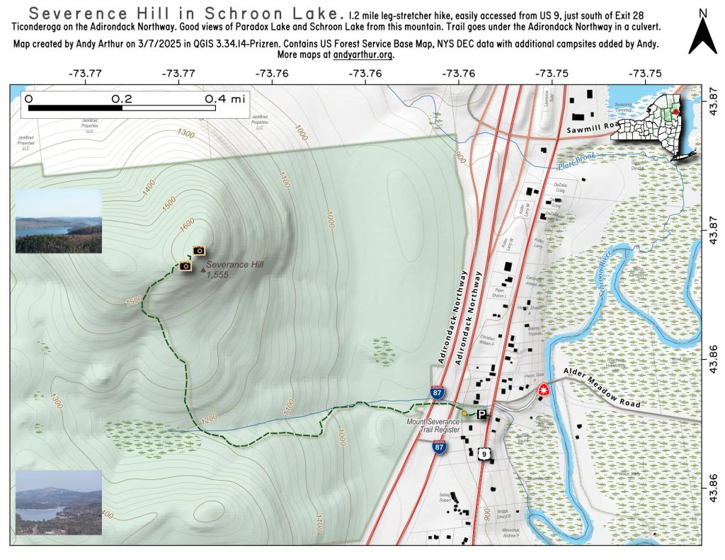
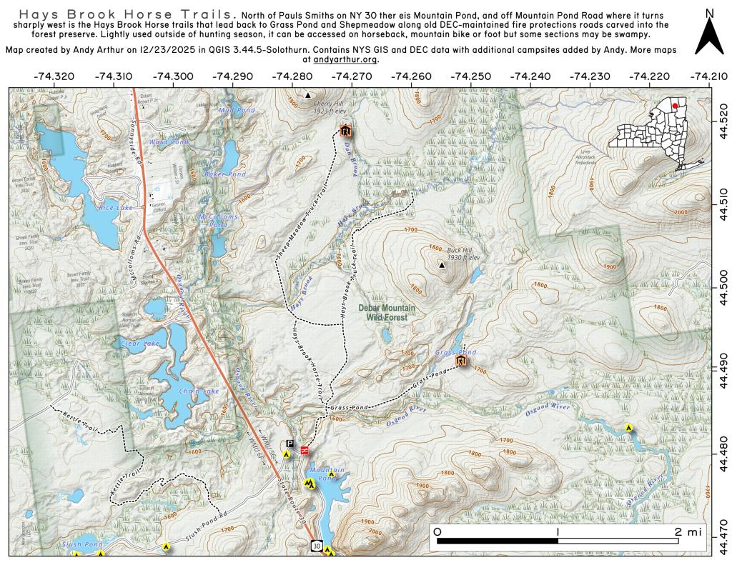
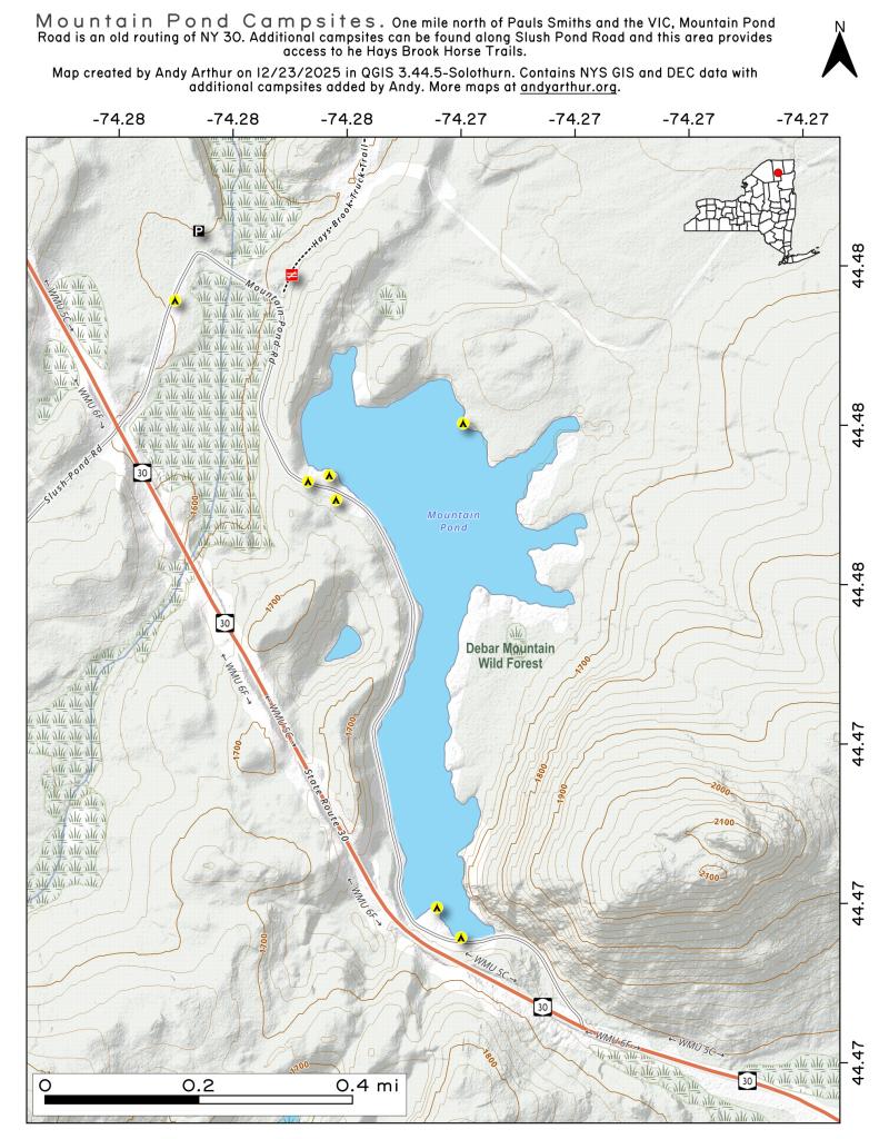
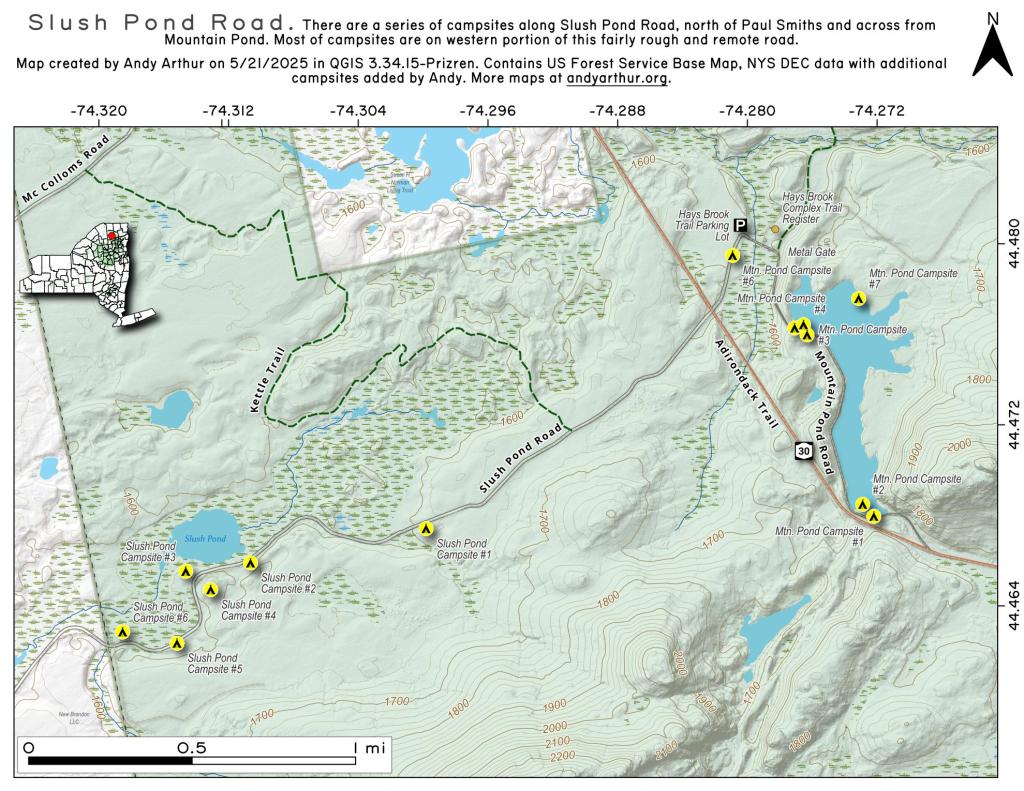
More about Mountain Pond...
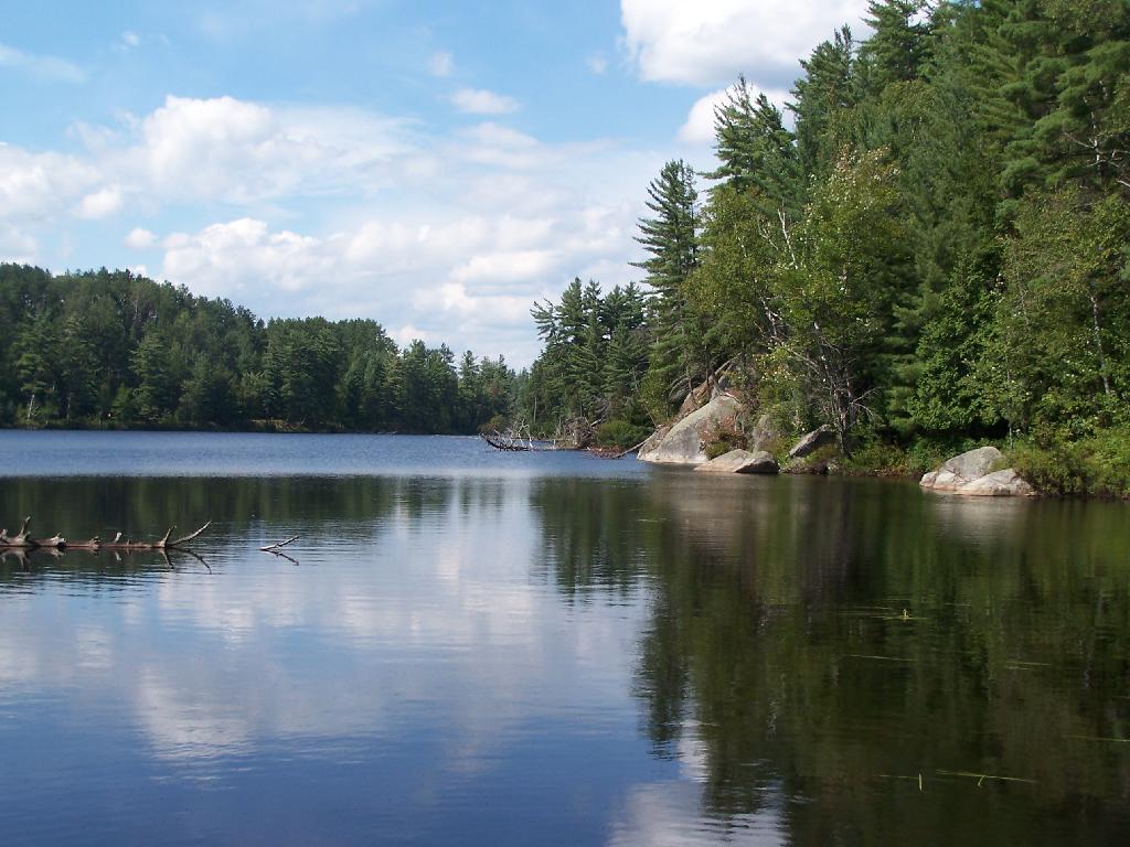
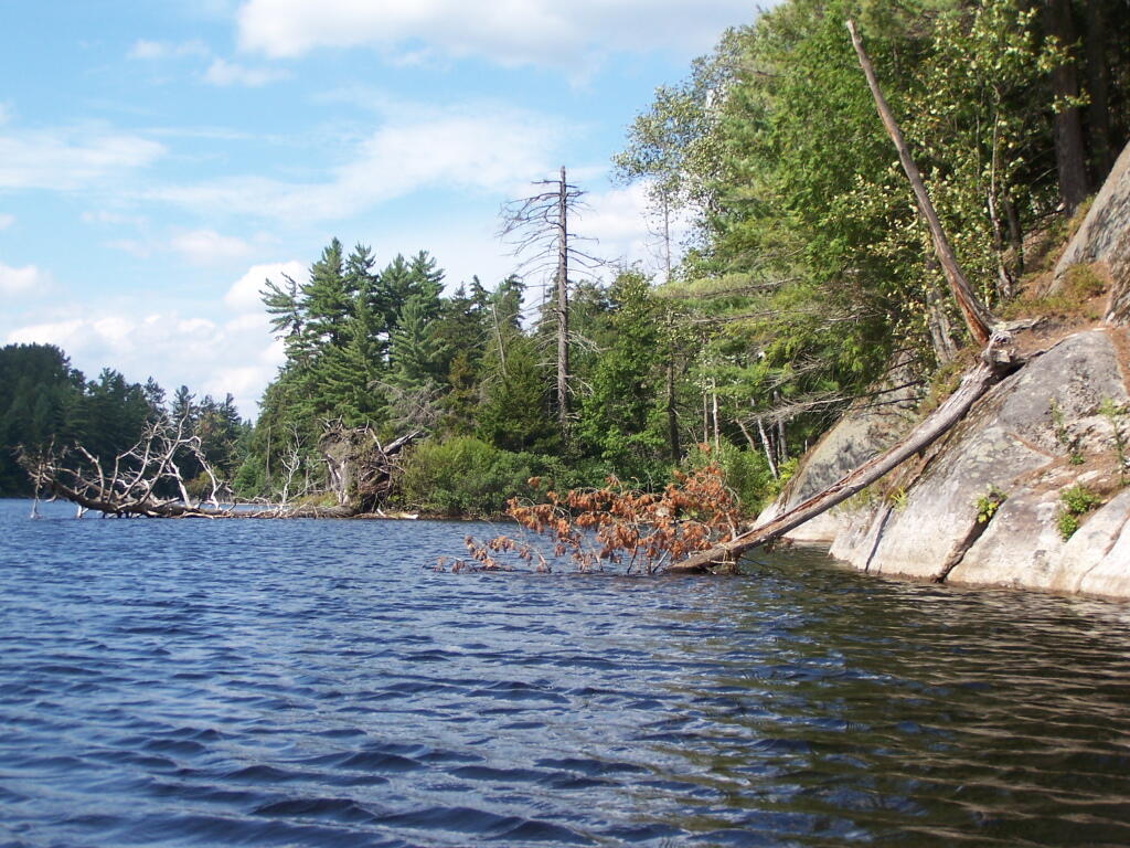
Mountain Pond is a small, narrow lake, located along Old Route 30, just 2 miles north of Paul Smiths. Offers 6-roadside camping spots, along with a secluded, lesser used pond, near Barnum Pond and Osgood Pond.
Download the PDF Map Pack with All Maps from Mountain Pond.