Six Miles to Horseshoe Lake 🖼️
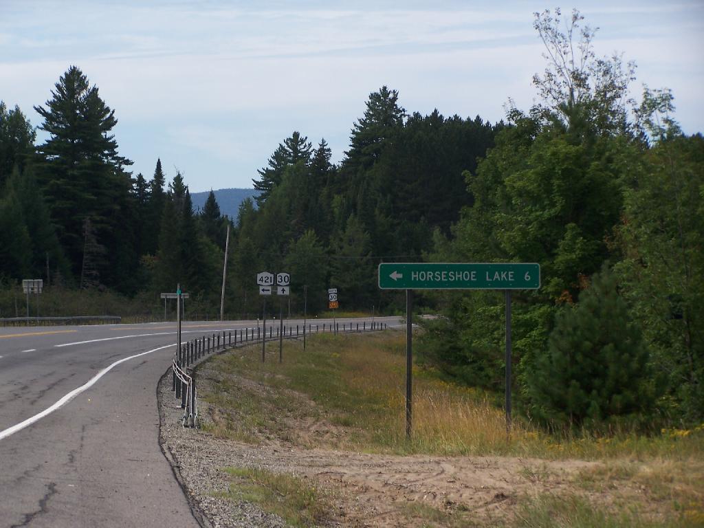
Download a JPEG Image of the Six Miles to Horseshoe Lake.
Six Miles to Horseshoe Lake ...
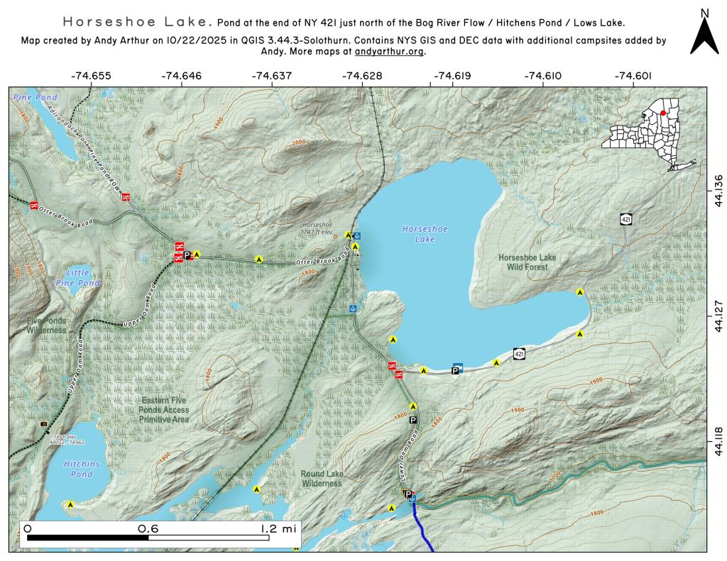
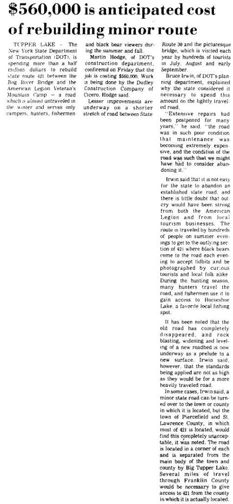
This is the turn off for NY 421, one of the strangest state highways in the state. It is a dead ended highway, that leads to gravel roads around Horseshoe Lake and Bog River Flow. It is very twisty and narrow, and portions have not been resurfaced in over 50 years.
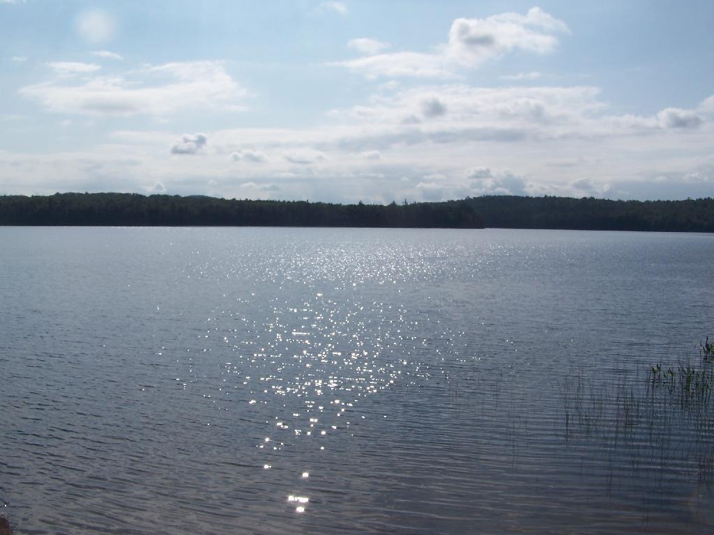
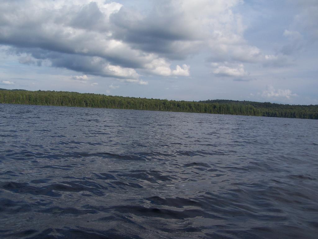
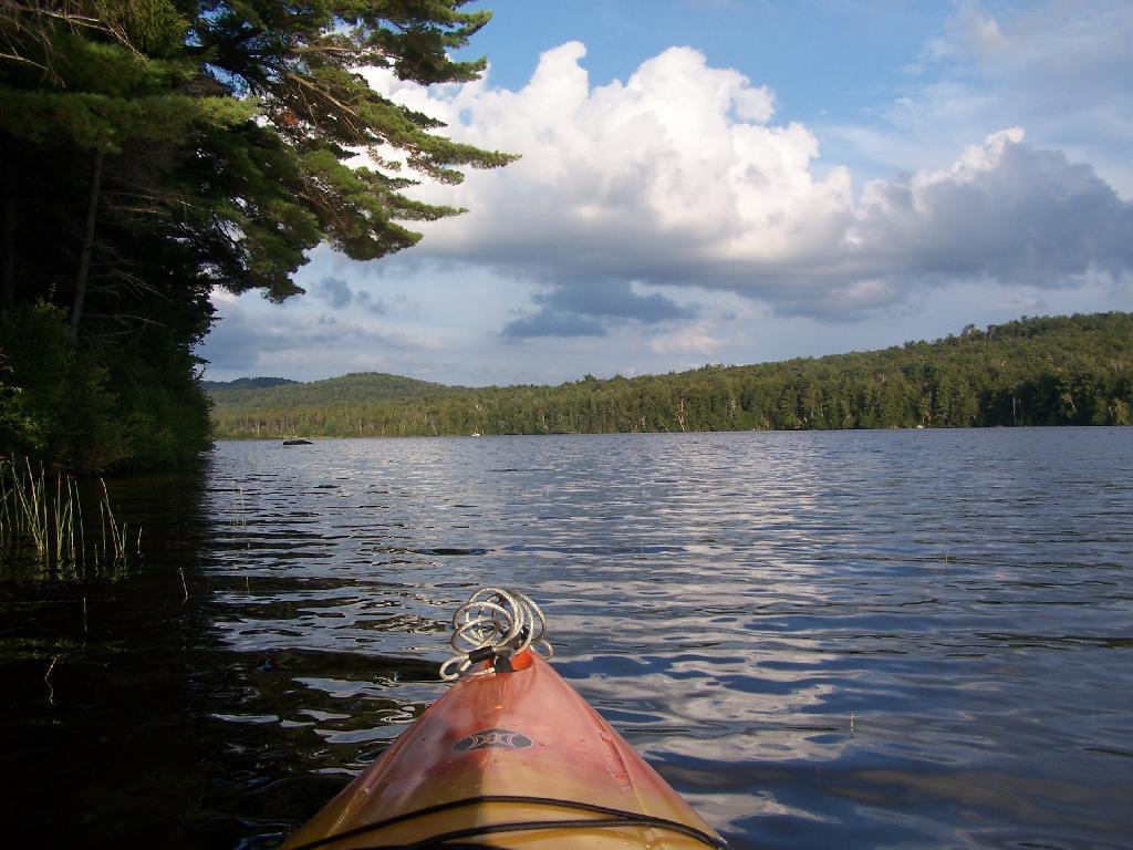
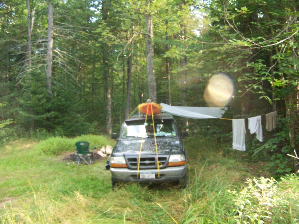
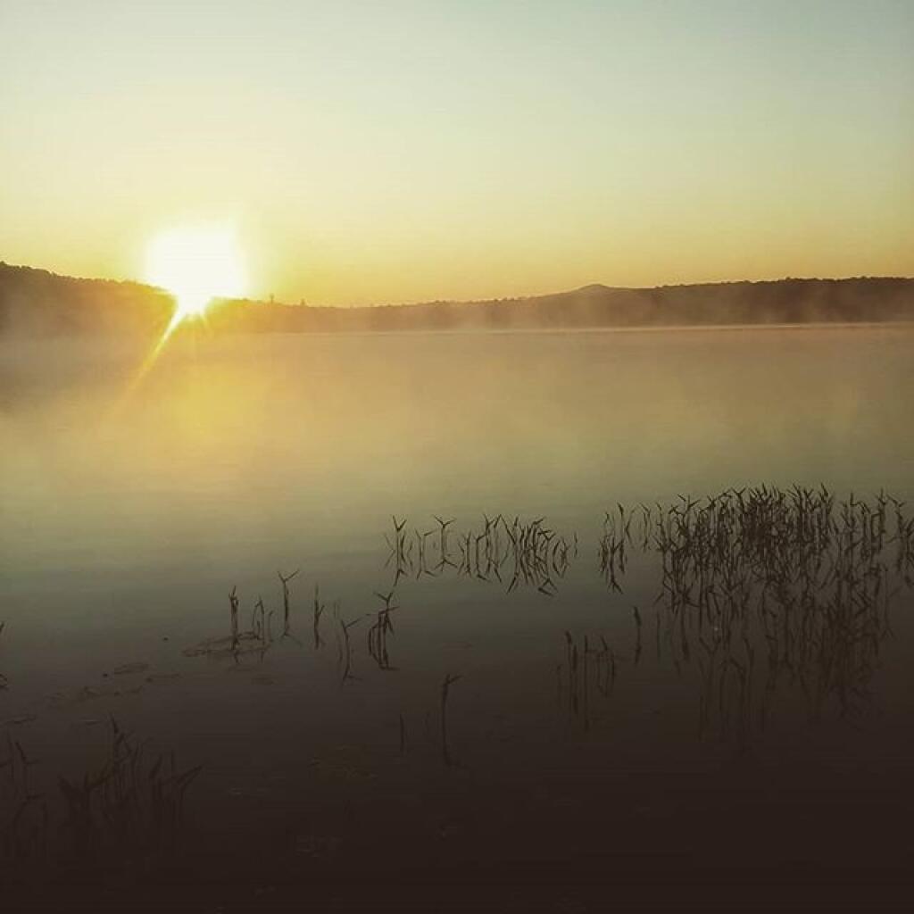
Taken on Thursday August 12, 2010 at Horseshoe Lake.
More about Horseshoe Lake...
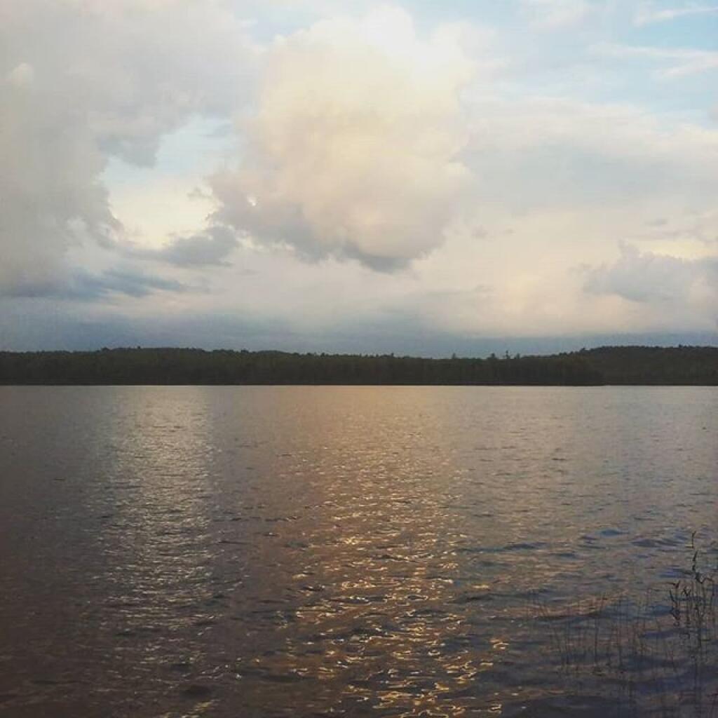
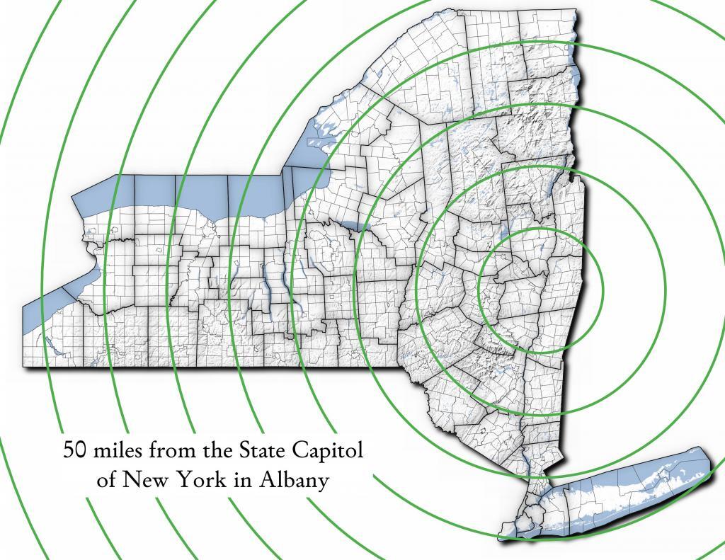
Horseshoe Lake in Franklin County, is located about 15 miles south west of Tupper Lake. There are 6 campsites along the lake, plus 4 others on roads nearby. Near the Hitchens Pond put-in for Lows Lake, a popular spot for camping and paddling.