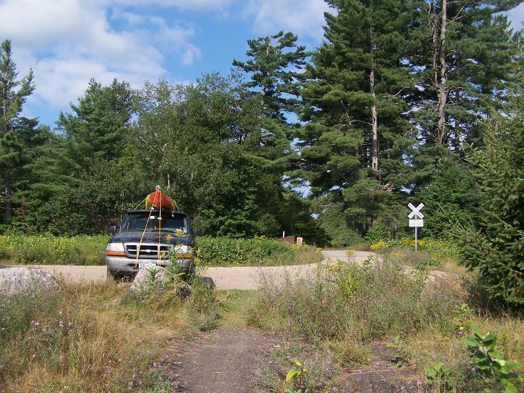
Road Crosses Railroad Tracks 🖼️
Download a JPEG Image of the Road Crosses Railroad Tracks.
Road Crosses Railroad Tracks ...
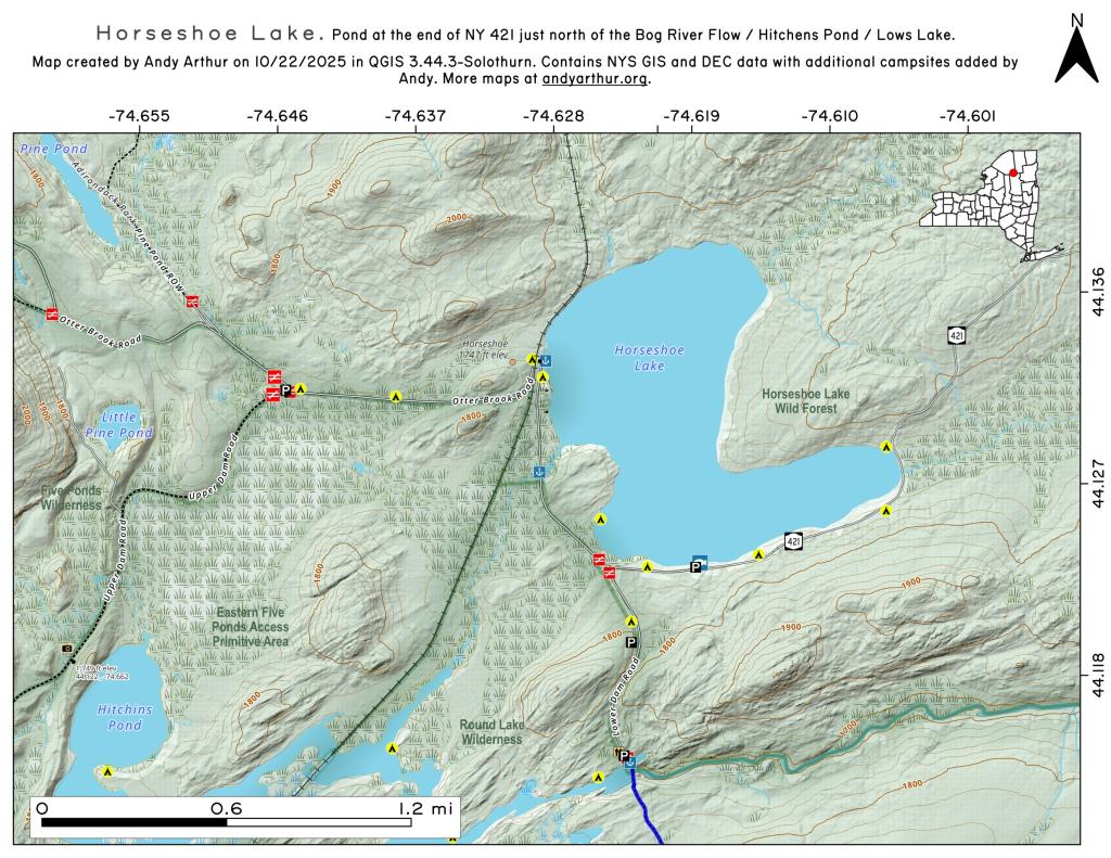
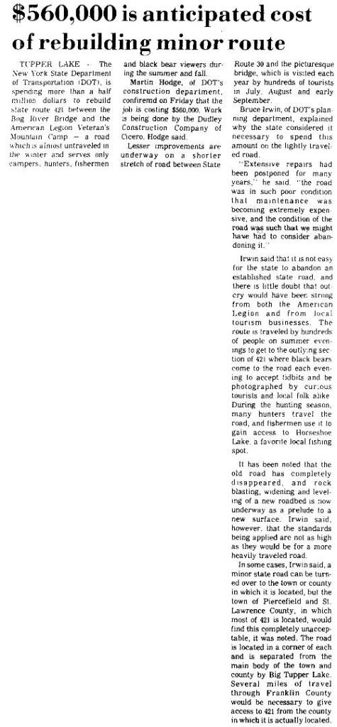
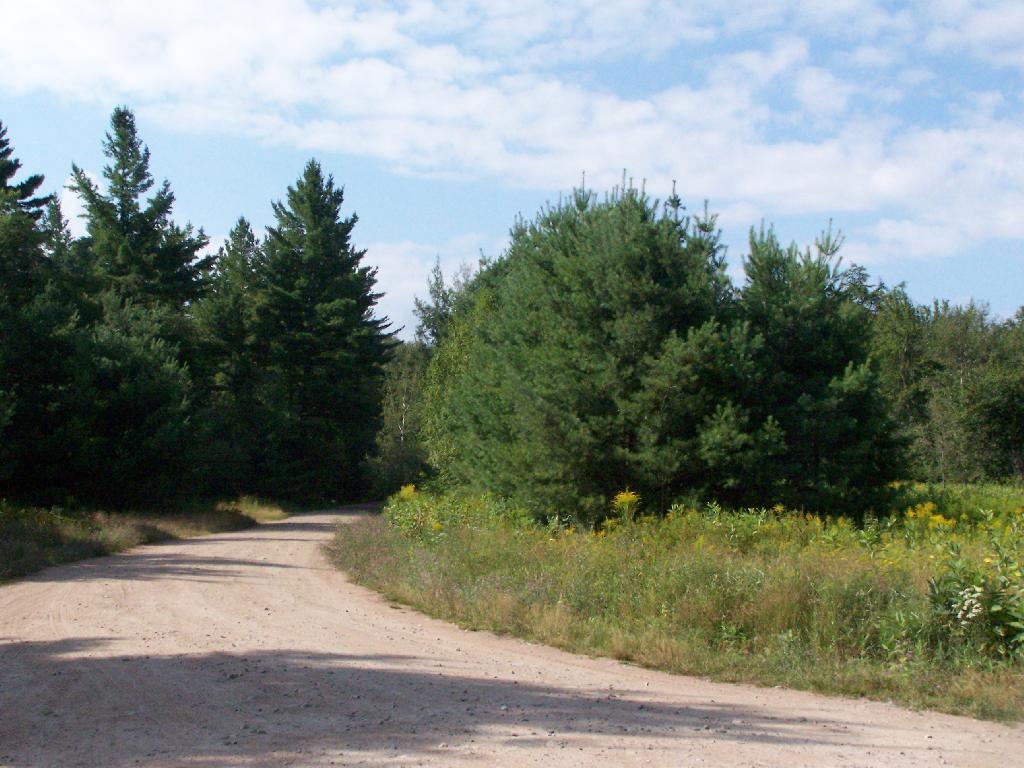
This is where the weird hair-pin turn appears on maps at the end of NY 421. I'm not sure why it follows this route, as the terrain is flat, but maybe at one time there was an inholding or private home located in here.
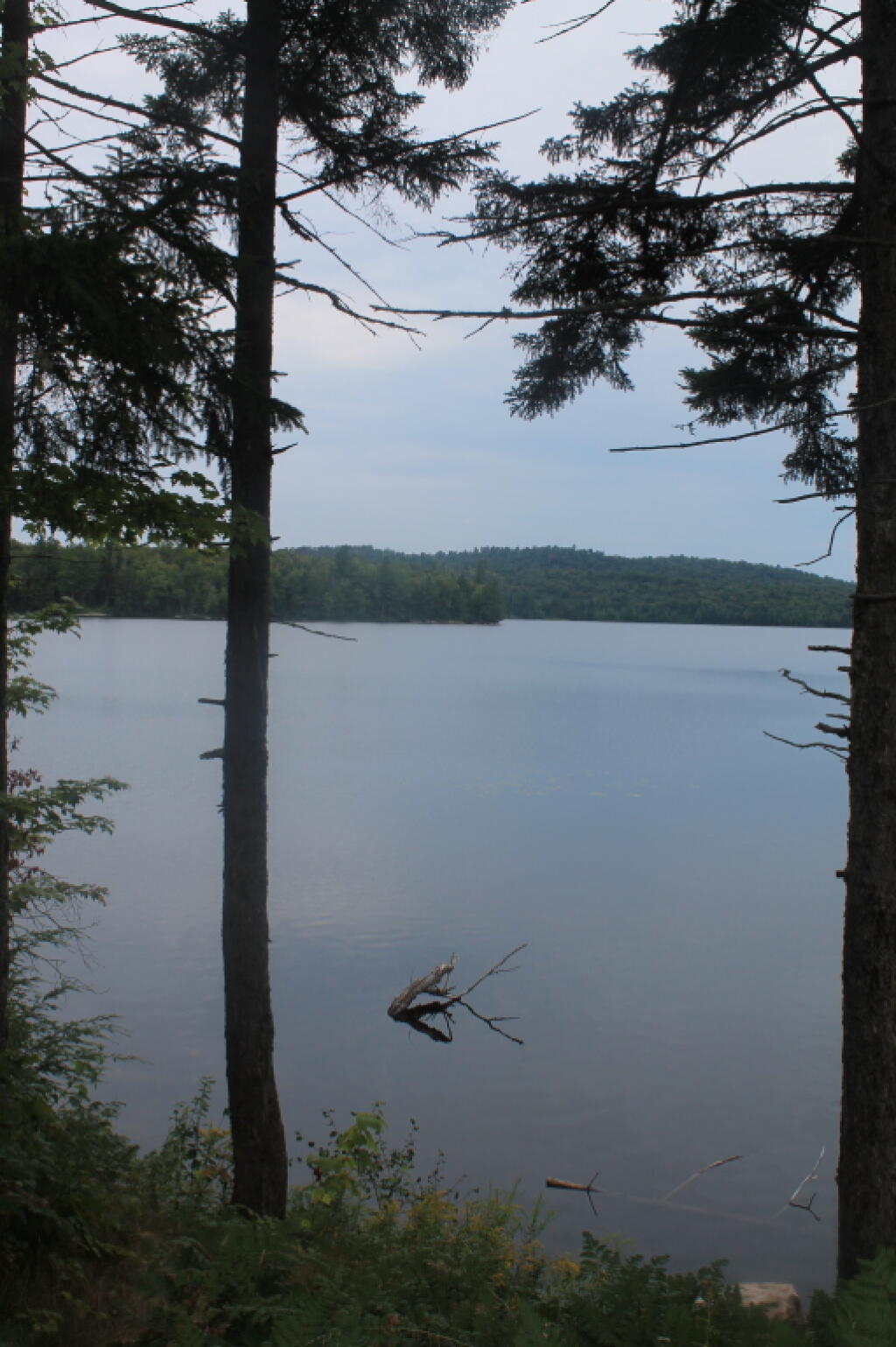
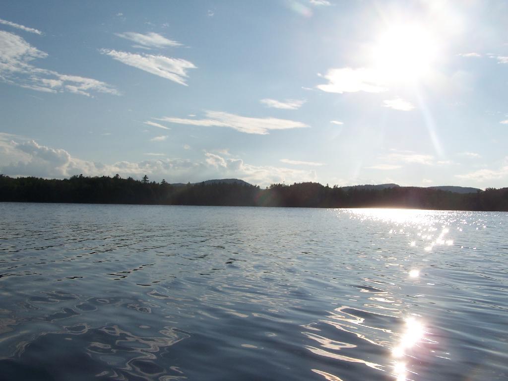
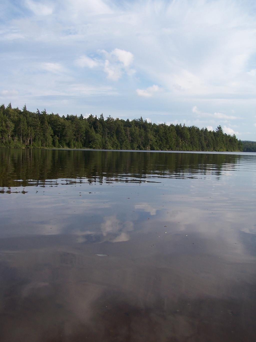
Taken on Friday August 13, 2010 at Horseshoe Lake.
More about Horseshoe Lake...
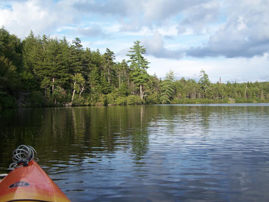
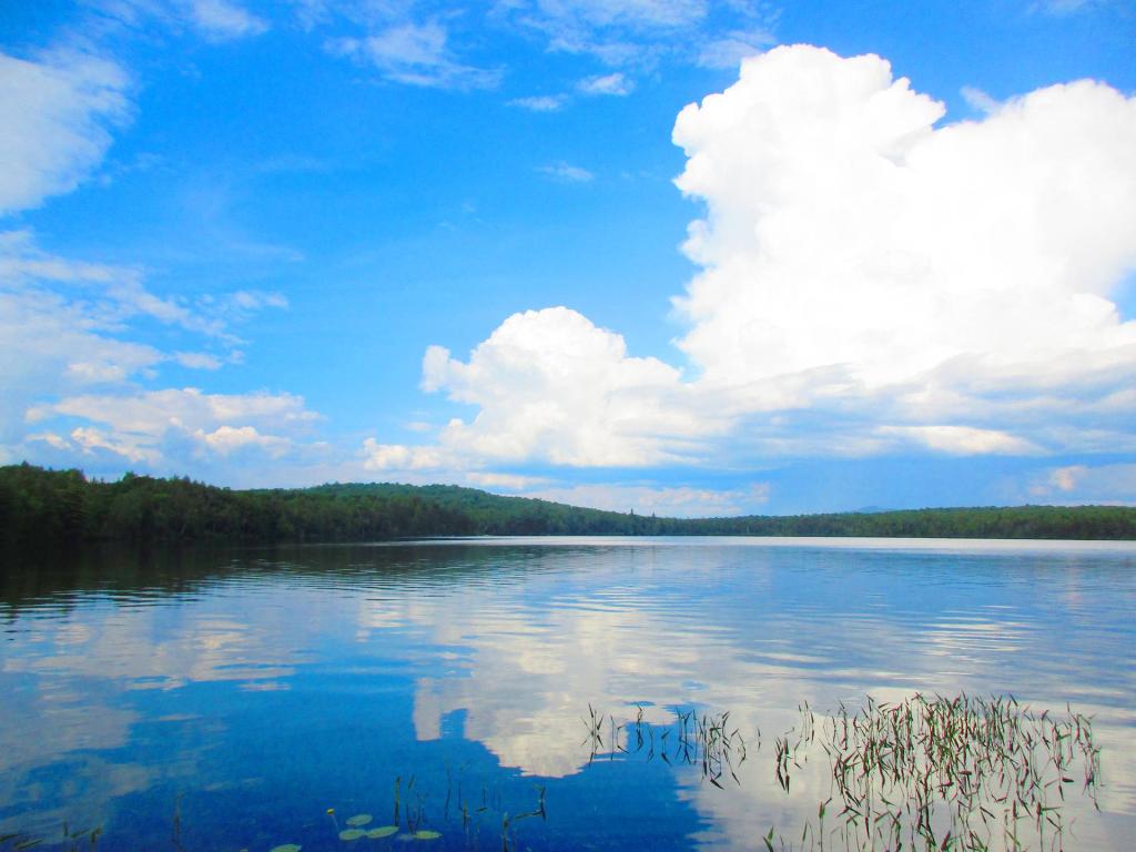
Horseshoe Lake in Franklin County, is located about 15 miles south west of Tupper Lake. There are 6 campsites along the lake, plus 4 others on roads nearby. Near the Hitchens Pond put-in for Lows Lake, a popular spot for camping and paddling.