Shot Up Motor Vehicle Trail Sign 🖼️

Download a JPEG Image of the Shot Up Motor Vehicle Trail Sign.
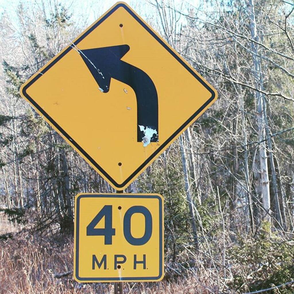
Shot Up Motor Vehicle Trail Sign ...
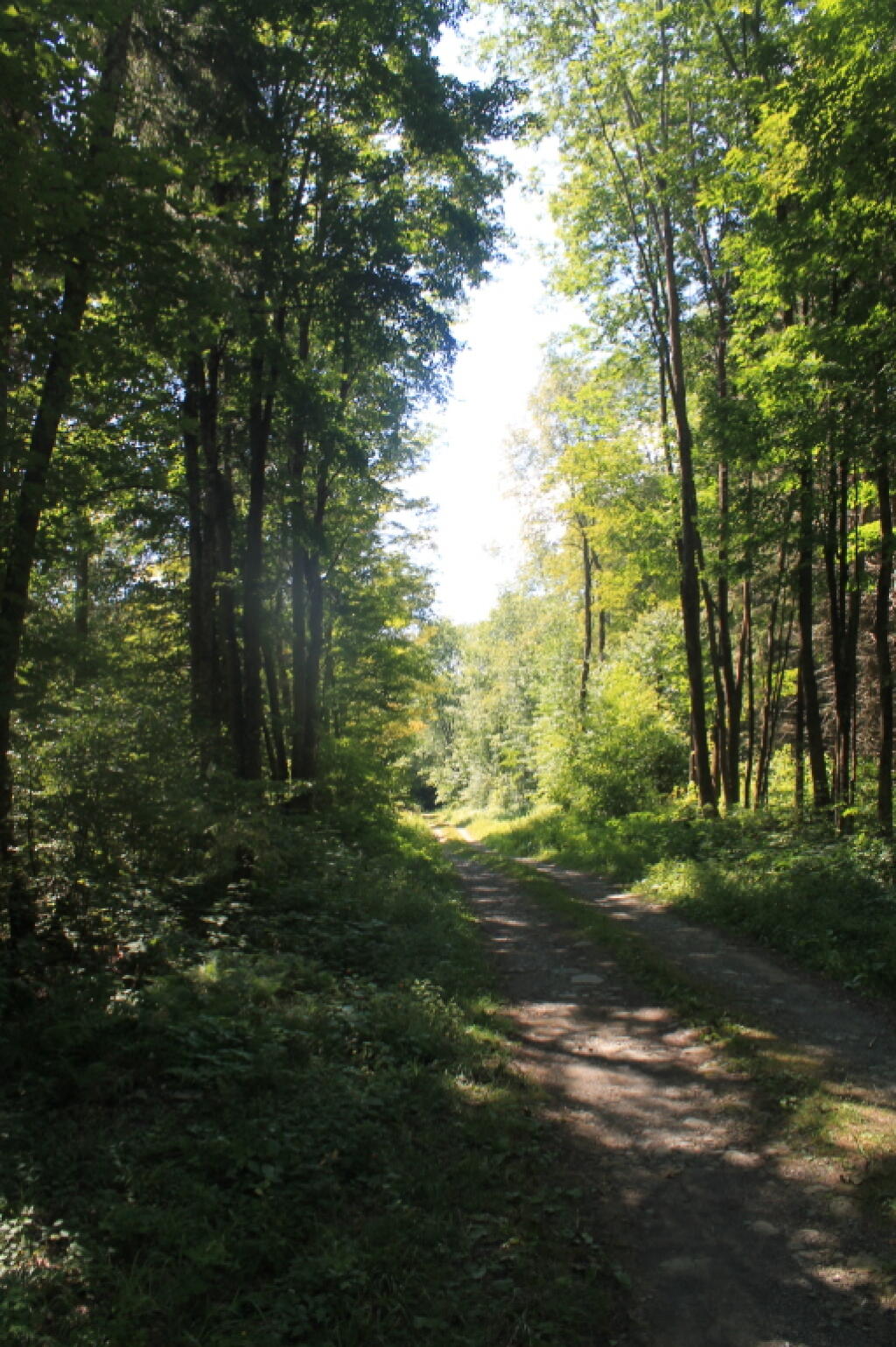
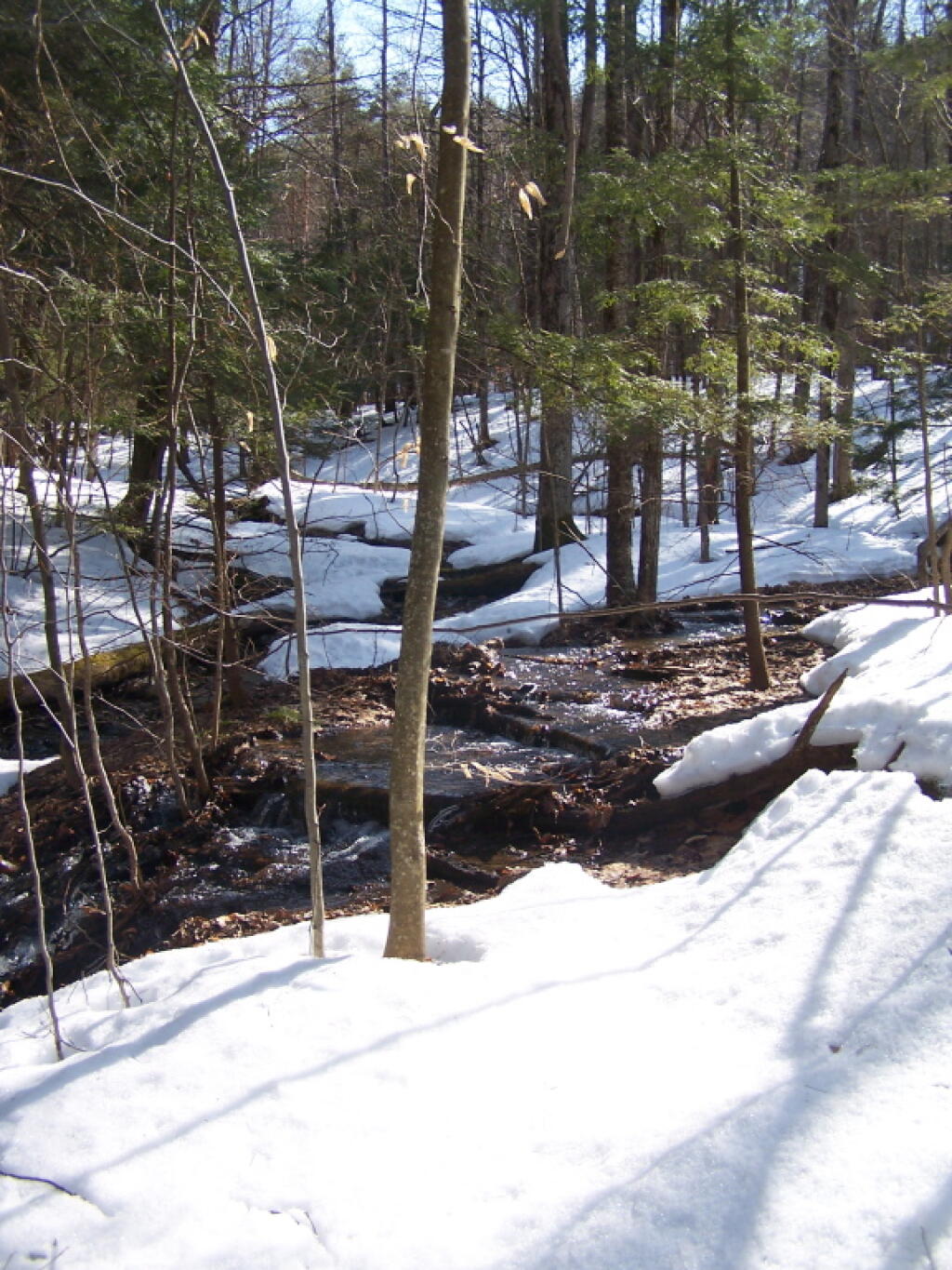
Hiking along the Truck Trail that goes up around Cole Hill. The signs have not been maintained in year, an in many places this truck trail is very steep and rough going.
Taken on Sunday March 20, 2011 at Cole Hill State Forest.

More about Cole Hill State Forest...
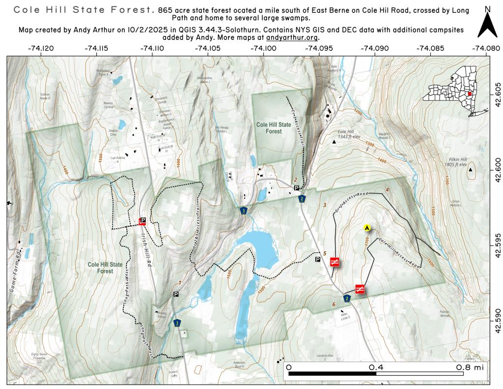
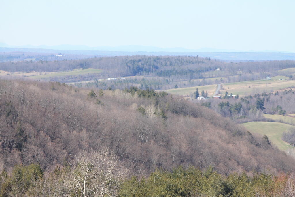
The 876-acre Cole Hill State Forest is located in the town of Berne in Albany County. Cole Hill and much of the surrounding areas were made up of the Van Rensselaer manor called Rensselaerwyck. Much of the estate was broken up in the early 19th century after tenants were tired of paying perpetual leases, leading to the Anti-Rent War. Cole Hill State Forest is managed by the multiple-use concept. Foresters plan complementary uses such as habitat diversity, recreation, water, wildlife, wood products and natural beauty so as to promote a healthy and useful forest. Recreational opportunities include hiking, snowmobiling, cross-country skiing, hunting, fishing, trapping and wildlife viewing.
http://www.dec.ny.gov/lands/66375.html